"Magnificent Travels through Nepal & Tibet"
"Magnificent Travels through Nepal & Tibet"
Upper Mustang Lodge Trek
Why Book With Us?
- Hassle Free & Best Price Guarantee
- Customer care available 24/7
- Hand-picked Tours & Activities
Get a Question?
Do not hesitage to give us a call. We are an expert team and we are happy to talk to you.
+977 9851157461
Tour Details
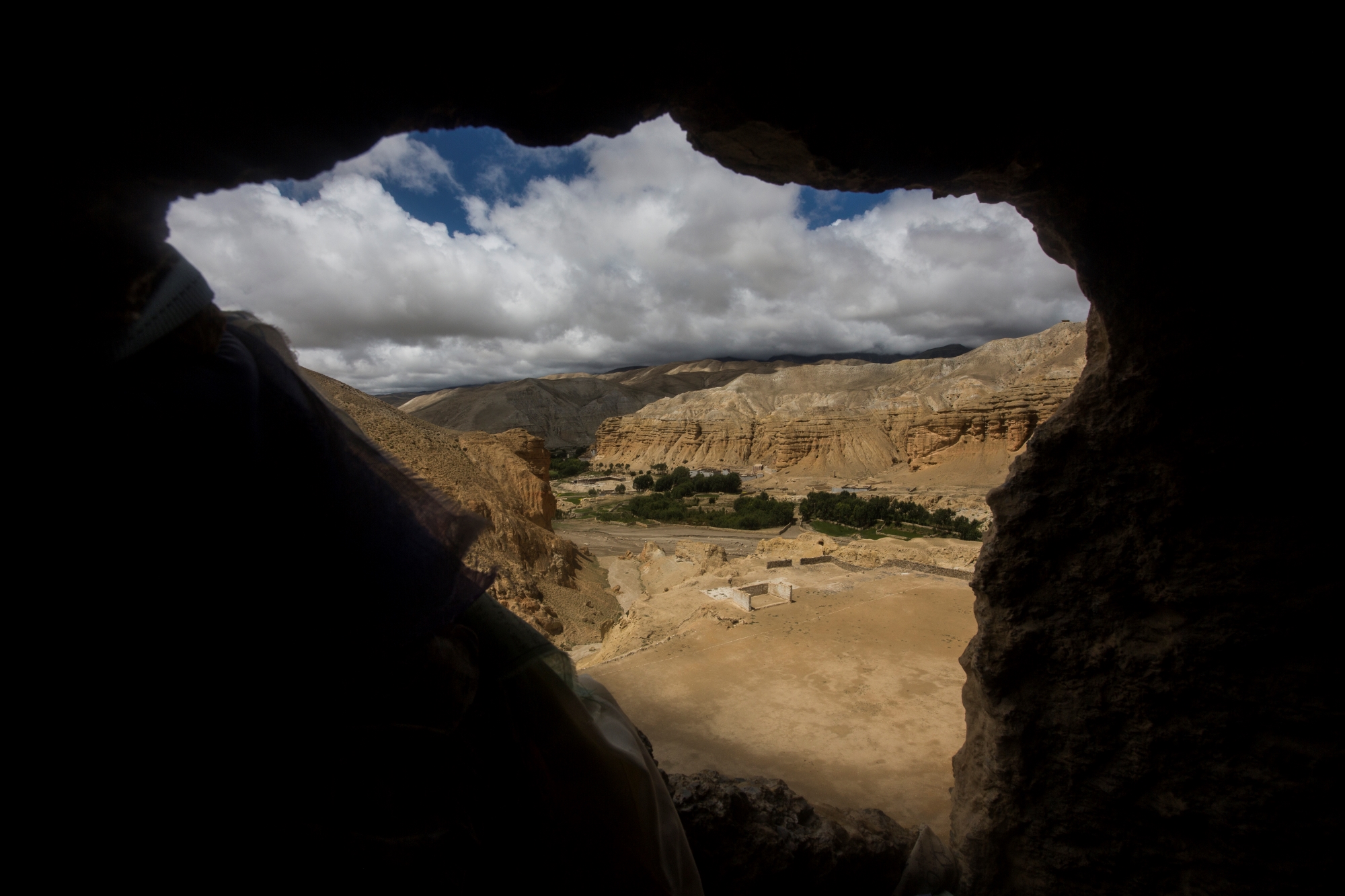
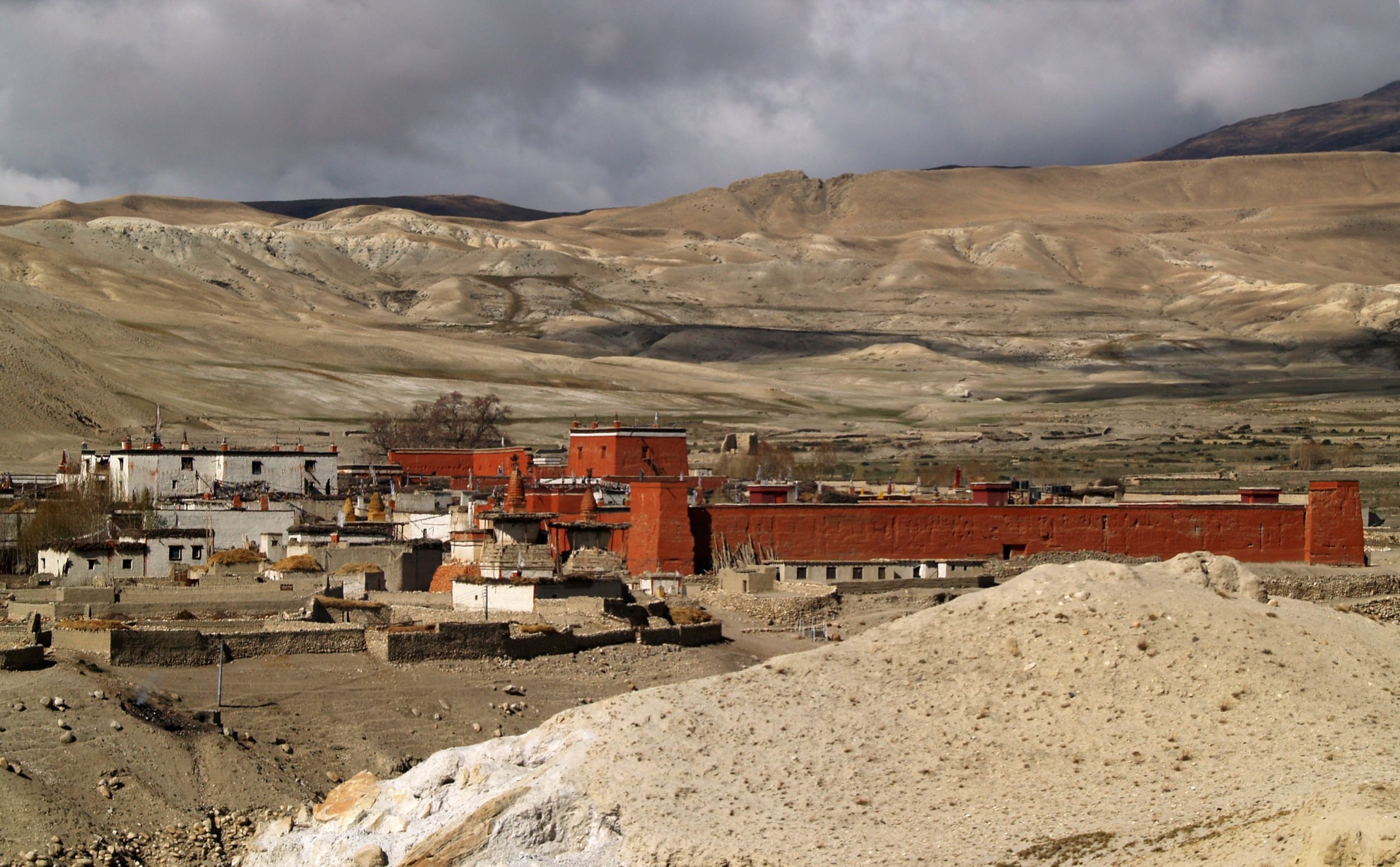
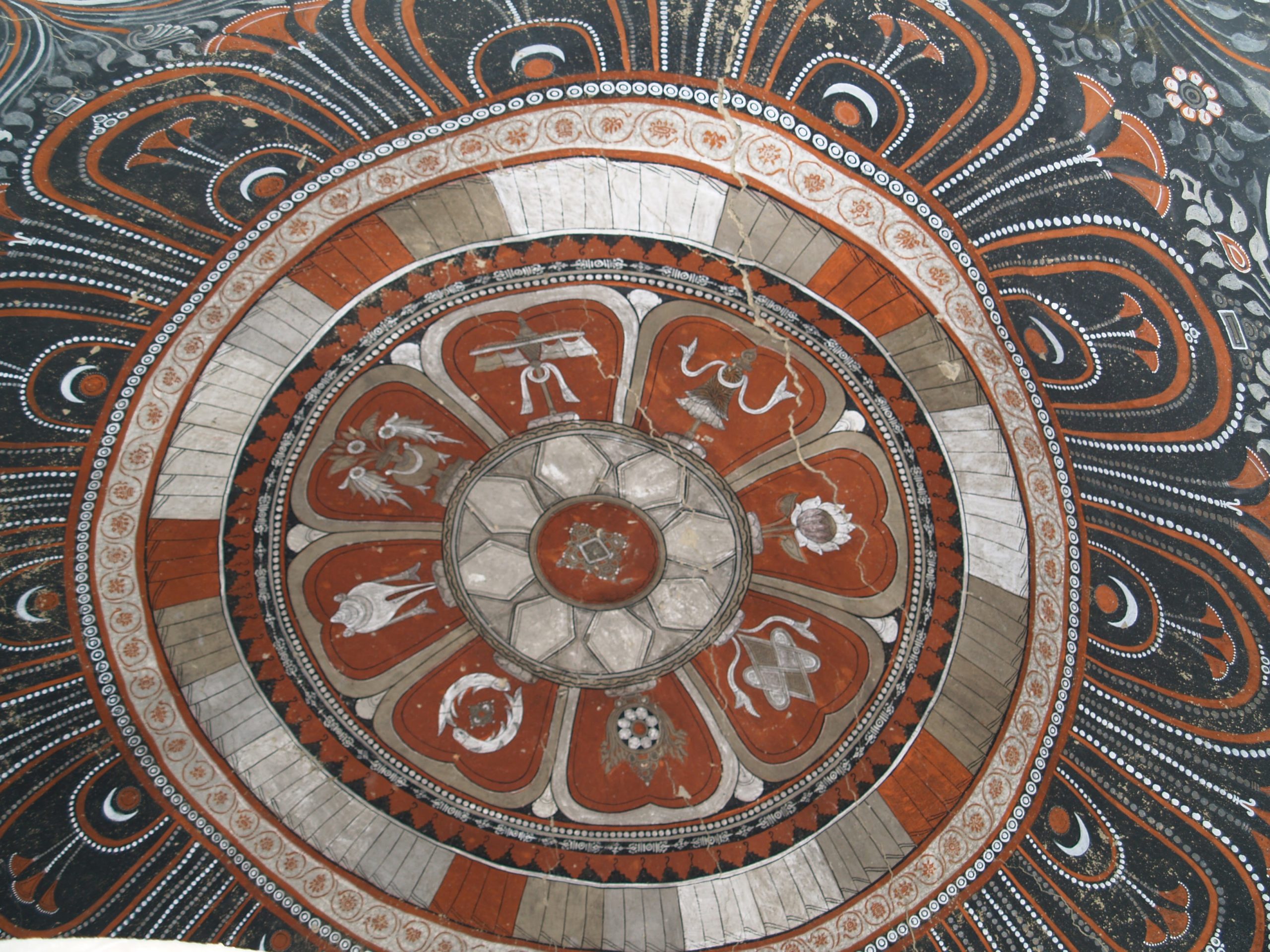
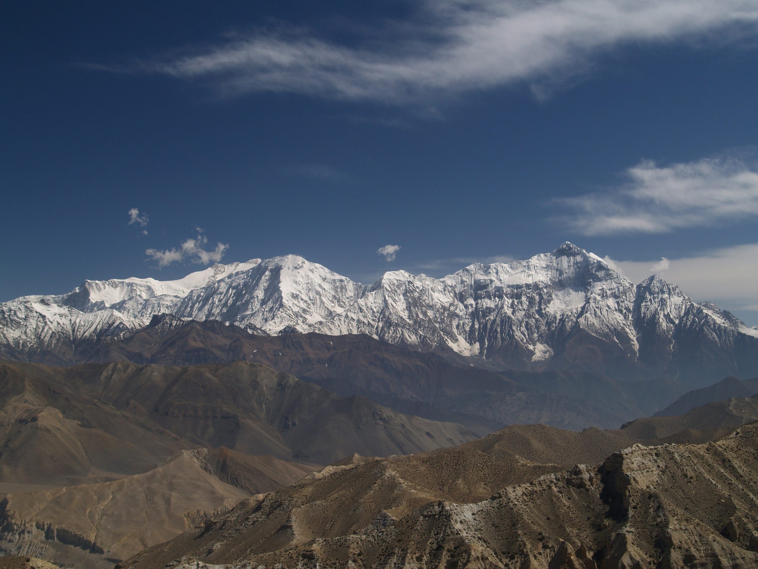
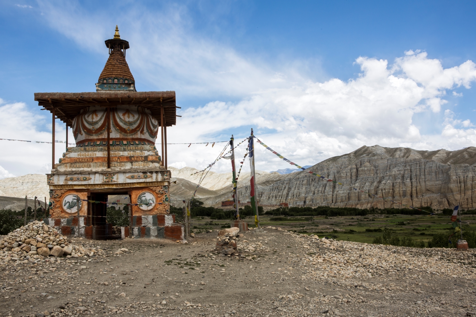
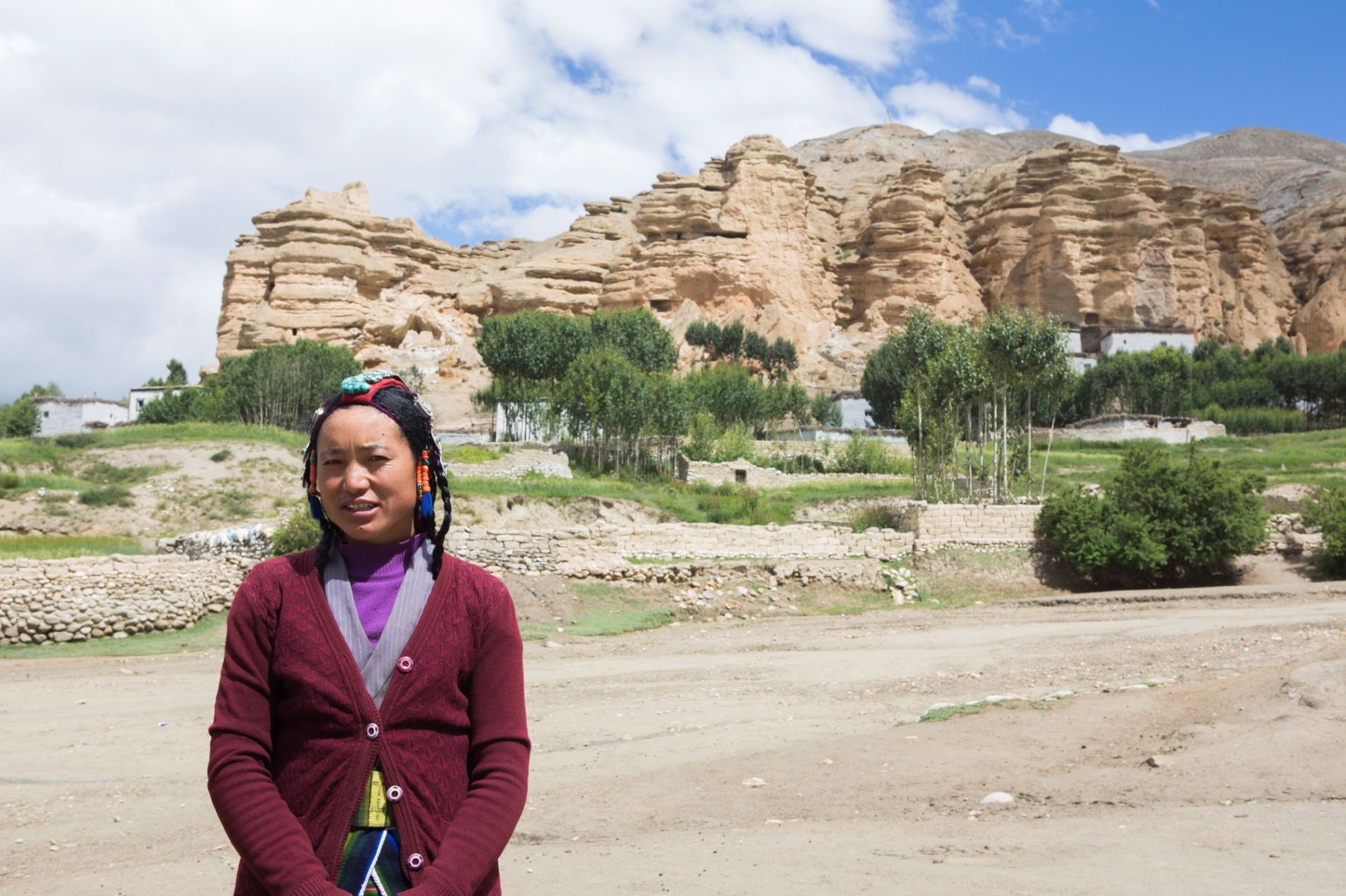
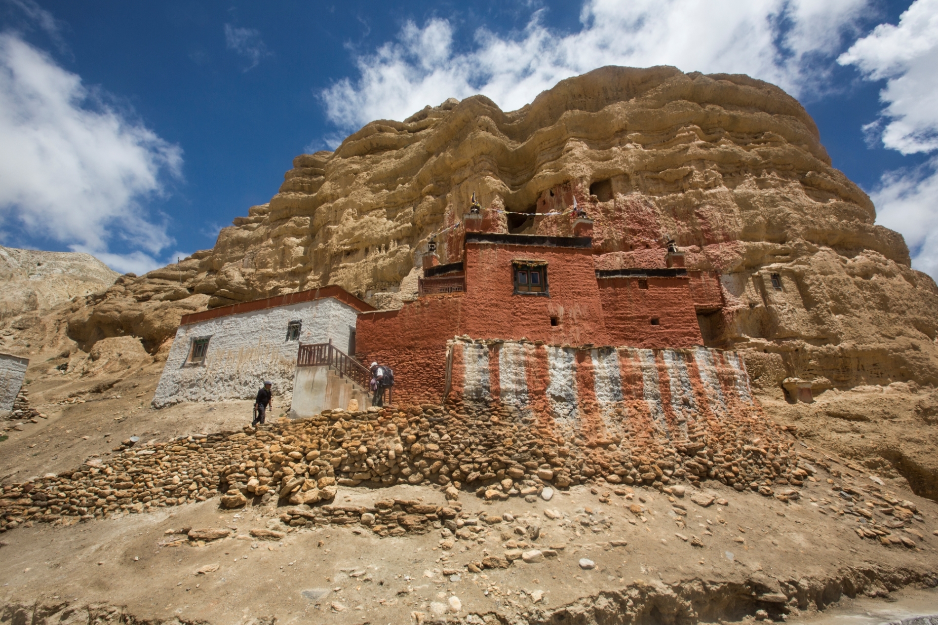
The Kali Gandaki River has carved the deepest river canyon in the world between Dhaulagiri (8 167 m) and Annapurna (8 091 m). Mustang, the former Buddhist Kingdom of Lo, is one of many small kingdoms that used to extend along the upper Kali Gandaki. Set amidst the majestic scenery of the Tibetan Plateau are ancient forts, walled medieval villages and monasteries rich with Buddhist art. Surrounded by Tibet on three sides, Mustang is an enclave of traditional Tibetan culture untouched by the Chinese occupation. Despite their isolation, the people of Mustang are worldly, well-traveled and resourceful. Essentially Tibetans, they are skillful traders, travelers and merchants and are by no means a primitive tribe that needs to be protected from outside influence. Lo, or Mustang, maintained its statues as a separate principality with a Raja until 1951 when it was incorporated into Nepal.
Only in 1992 did the Nepal government allow the first groups to enter Mustang. Each westerner must pay a special permit costing $500 for the first 10 days and $70 for each additional day spent in Mustang. A total of 400 westerners are allowed to enter Mustang per year. Therefore, the special permit results in a more expensive trek cost per day than other treks.
The trek to Mustang is through an almost treeless barren landscape. Strong winds generally howl across the area in the afternoon, generally subsiding at night. Being in the rain shadow of the Himalaya, Mustang has much less rain than the rest of Nepal although the skies are often cloudy during the monsoon season and rain sometimes occurs. Villages are several hours apart and appear in the distance almost as mirages. After the crops are planted, there are green oases in the desert-like landscape of endless expanse of yellow and gray rolling hills eroded by wind.
Short Itenary
Day 01: Arrival in Kathmandu
Day 02: Sightseeing in Kathmandu Valley.
Day 03: Flight Kathmandu – Pokhara
Day 04: Flight to Jomson & Trek Jhharkot (3 342 m)
Day 05: Trek Kagbeni (2 820 m)
Day 06: Trek Chuksang (2 922 m)
Day 07: Trek Yamdo (Eklobhatti) (3 738 m)
Day 08: Trek Ghemi (3 432 m)
Day 09: Trek Tsarang (3 426 m)
Day 10: Trek Lo Manthang (3 690 m)
Day 11: Free day Lo Manthang (3 690 m)
Day 12: Trek Lo Gekar (3 822 m)
Day 13: Trek Ghemi (3 432 m)
Day 14: Trek Samar (3 290 m)
Day 15: Trek Kagbeni (2 820 m)
Day 16: Trek Jomson (2 700 m)
Day 17: Flight to Pokhara (620 m)
Day 18: Flight to Kathmandu
Day 19: Kathmandu
Day 20: Fly out Kathmandu
Itinerary
Pick-up at Tribhuvan International Airport, meeting with your guide and transfer to the hotel. First impressions of Kathmandu (1 350 m) – walk to medieval Kathmandu Durbar Square and explore the beautiful complex of palaces, temples, shrines and courtyards built by the ancient Nepali kings between the 12th and 18th century. We bring you to our office and Thamel – the vibrant tourist area with hotels, restaurants, bakeries and outdoor shops. We get to know each other over a welcome dinner, check formalities and equipment and discuss your itinerary.
Today we discover the highlights of Katmandu and the valley. We adapt the program to your interests and desires and what you have seen before. Usually, we go to Pasupatinath on the bank of the Bagmati River, where the most important Hindu temples and burning ghats of Nepal are situated. In Bouddhanath we circumbulate together with Tibetan and Nepali Buddhist pilgrims the whitewashed stupa. Our sightseeing usually ends in Patan, the city of Beauty, an astonishing center of fine art and Buddhist and Hindu culture.
Morning flight to Pokhara, the largest town in central Nepal, which is known for its lake Phewa tal and spectacular panorama over the Annapurna peaks.
The flight departs for Jomsom passing Machhapuchhare and Dhaulagiri and winding up the Kali Gandaki valley to land uneventfully at a small airstrip. Approximately three hours are required to arrange the horses, sort out the loads, and complete arrangements with the police checkpoint. The trek begins by crossing the blue suspension bridge into the older part of Jomsom and then, leaving Jomsom (2 700 m) behind, proceeding up the Kali Gandaki gorge to Eklobhatti where there are a few lodges. The wind is gusting, and lunch is inside one of the lodge where such treats as Snickers and other confections including beer are available. From Eklobhatti the trail to Jharkot rises rather steeply from the river bed then more gently to a ridge and subsequently through the small village of Khingar to the camp at Jharkot (3 342 m). Many Indian pilgrims en route to Muktinath are passed on the trail, some displaying difficulty with the altitude.
The trail from Jharkot to Muktinath is a fairly unrelenting climb which affords increasingly better views of Dhaulagiri and the village of Jharkot. A short climb above the village of Muktinath (3 654 m) is the object of the pilgrim’s journey – a small Hindu temple behind a semicircular arrangement of cow heads on a brick wall, each with flowing water. Legend has it that Vishnu lived in Muktinath and prayed at this spot, thus the veneration of it. In the same complex are multiple chortens and a small monastery as well as a Buddhist temple in which there is a flame fed by natural gas seeping from the rocks. The odor of the gas is inescapable. The trail is re-traced to Jharkot and through Khingar to a side trail which descends sharply to Kagbeni (2 820 m) for dinner and camp.
At the north limit of Kagbeni is the police checkpoint through which there are beautiful views of Kagbeni with Nilgiri as a backdrop. The trail climbs and descends along the east bank of the Kali Gandaki. One passes the canyon of the Lungpa Khola on the west bank. Finally, the trail crosses a plateau with sparse scrubby bushes, and the fields of Tangbe can be seen. After a very sharp descent on mostly small loose rocks and gravel and crossing the canyon of the Tengbe Khola, the path climbs gently to Tangbe (2 880 m) and lunch (7 km). The walk on to Chuksang (2 922 m) is 1,5 h on an undulating trail, sometimes steep, with distant views of Tsele perched high on a cliff above the Kali Gandaki which is now in a canyon with great red stone walls. Chuksang is situated at the junction of the Kali Gandaki and the Narsing Khola (river). On the opposite side of the canyon from the village one may see red peppers being ground into large bundles in mortars. The peppers are then carried by the women to enclosures where the ground is smooth. The heads of grain are then removed from the stalks by pulling them and spreading them out on the ground in the sun to dry. Chang is available locally, and the local “hotel” has a kitchen with the typical stove of Mustang, a three-tiered sort of affair in which dung is burned in a roaring fire that provides plenty of heat for cooking. It should be noted that the villages of Tangbe and Chuksang, along with Gyakar, Tsele, and Tetang, are inhabited by people of a cultural group referred to as Gerunds. Also, the Gomba Kang at Tangbe is of the Nyingmapa sect, as opposed to most monasteries in upper Mustang.
A short walk through the river bed brings one to a metal bridge across the Kali Gandaki at a point where a massive boulder has fallen from the cliffs above and now leans against the cliff to form a tunnel through which the river flows. After crossing the bridge the trail almost immediately climbs very steeply via a rocky gully to Tsele. From Tsele one begins an unrelenting climb along a deep canyon across from the village of Gyagar which is encircled by a very long wall of packed earth. The trail is often hewn out of the canyon wall, and at each turn of the trail one sees the trail continuing along the precipice ever upward. After the canyon the trail climbs more gently to an unnamed pass (3 264 m) from which one sees the very pleasant village of Samar at approximately the same elevation, an excellent spot for lunch. From the pass at the northern edge of Samar the trail sharply descends and then ascends twice before the next pass, Beza La (3 684 m). Continuing down and then up, sharply at first, one arrives at teahouse, Yamdo (3 738 m), for camp. A nearby stream provides water for bathing and clothes washing if one can stand the cold water. From this spot there is a panoramic view of the Annapurna Himal with its rapidly changing cloud patterns and sometimes spectacular sunrise. The vegetation in this area is more ‘lush’ with many junipers which have been, unfortunately overcut and in some areas burned.
From Yamdo it is a gentle climb to the first pass of the day, Yanda La (3 729 m). From a small knob at the side of the pass a 360-degree panorama of the surrounding area can be seen. A gentle and then sharp descent to a fairly level stretch of trail brings one to Syanmochen (3 540 m). This village consists of a very few stone houses where one may be able to see rakshi being made. Just before reaching the village of a Syangmochen you will see a side trail that descends to Rangbuyng, a cave with self-emanating statues of Guru Rimpche and Pasmasambhava. Then a short, steep climb brings one to a plateau region where, passing round a chorten, one can see the village of Geling to the right. The trail then proceeds at first gently down (opposite Geling) with two drops into small canyons and then continues on a gentle ascent toward Nyi La to a hotel and lunch site at Chungkar (3 510 m). From Chungkar the trail passes a chorten and climbs gently and then more steeply directly to Nyi La (3 816 m). It descends sharply at first, then more gently then steeply into the village of Ghemi (3 432 m). The locals have a great interest in tourists and immediately amuse themselves in a friendly fashion into the proceedings of setting up camp and into finding out what strange things the round-eyed people may have brought here with them. The local gomba has friendly monks, and one can visit without charge and take photos. For some festivals a sand mandala is made on the floor of the gomba. There you will see a spectacularly colorful design done by hand from brilliant colored sands. When the festival is concluded, the mandala is swept up, and the sand is ceremoniously placed into the river.
The village of Ghemi is built, as many of the villages in Mustang, on the steep edge of a canyon, and the trail to Tsarang goes down steeply to cross a stream via a suspension bridge. There is also at this point an older wooden bridge. Crossing this canyon one passes chortens and mani stones to arrive on the opposite side where the longest mani wall in Nepal is located. From the mani wall (remember to pass so that it remains to your right) the trail is an unrelenting climb to a pass at approximately 3 720 m. A nearby knob (3 801 m) offers an absolutely magnificent 360-degree panorama from which one can see Trahmar and its associated red cliffs, spectacular colors in other rocks, distant snow-capped peaks of the Annapurna Himal (including Annapurna, Fang and Nilgiri), and the rugged canyon country. One descends gently from the pass past a large door chorten into a wide, beautiful entry avenue into the village of Tsarang (3 426 m), probably the most beautiful village one visits on this trek. The first views of the village demonstrate the prominent sights of the gomba and the ruins of the old fort. From the village there are lovely views of the surrounding countryside. A charge of RS 100 is made at the local gomba and photos are not allowed. A small hydroelectric plant supplies current for dim lighting in the evening.
As with Ghemi, Tsarang is situated on the edge of a beautiful canyon with its associated steep descent and ascent. From the opposite side of the canyon are gorgeous views of the village perched on the edge with the backdrop of nearby hills and distant snow peaks. From the canyon the trail generally follows a gentle but unrelenting climb with increasingly beautiful views of the mountains to the south past an isolated chorten at approximately 3 570 m and past numerous caves in the adjacent cliffs to a window in a pass (3 816 m) which offers the first views of Lo Manthang. Its setting on the Plain of Aspiration with its irrigated green fields is in sharp contrast to the colorful, rugged cliffs and hills surrounding it. Lo Manthang (3 690 m) is a walled city of 845 people and livestock wintering in Pokhara and Kathmandu. It contains the Royal Palace of the King of Mustang who still has serfs which attend his land and livestock. The king is the only person allowed to ride through the single city gate- all others must walk. There are three interesting gombas in Lo Manthang – all showing the effects of centuries of neglect. One contains masks which are used in festivals. At present the government has, for unexplained reasons, closed the valleys to the east and west of Lo Manthang, severely limiting the sightseeing in this region.
This day is spent visiting the gombas and leisurely exploring the city of Lo Manthang – narrow alleyways, a school just outside the gates, the top of the wall, or a horseback ride for panoramic views of Lo Manthang.
The trail from Lo Manthang steadily climbs to a pass (4 032 m) marked, as most, by a cairn. From here ones gets the last glimpse of Lo Manthang. The trail then curves right and up a long, desolate valley with good mountain views past abandoned fields and a few ruins. One then has a steep climb across a ridge (4 134 m), the highest point of the trek, to a good lunch spot that could be windy. The trail then descends and undulates past two valleys with a sharp descent into a canyon with a rapidly flowing stream with a new wooden bridge. A short climb from the bridge brings one to Lo Gekar (3 822 m) where there is a lovely grassy area for camping, the gomba, and a teahouse. Colorful prayer wheels line one side of the gomba, and there are many chortens about with snowy peaks for a backdrop. The village of Marang can be seen down valley. There is a charge of RS 100 to enter the gomba, and no photographs are allowed. This gomba has fairly unique pained carved stones in frames.
After the trail climbs sometimes steeply across a crest and then a to a pass at 3 960 m, it begins a particularly scenic descent with snow peaks in the distance- gentle at first, and then steeply down a spectacularly eroded gully – to the village of Trahmar (Red Crag) set against the deep red cliffs seen from a distance on the trail from Ghemi to Tsarang. Many caves can be seen in the cliffs. The trail ascends gently from trahmar past fields where people are working. After that it turns toward Ghemi, one sees another trail up from Ghemi and the long mani wall – is much more impressive from this angle. The trail then descends sharply from a cairn-marked ridge to the canyon beside Ghemi and then sharply up into the village itself. The main trail to Jomsom is rejoined at Ghemi.
We continue the same way to Samar and Kagbeni.
This day is given to recuperating at a hotel in Jomsom in the afternoon. Marpha brandy is particularly good. The porters, guides, and kitchen boys are served dinner along with the trekkers, and a party follows with much dancing and music.
Short morningflight from Jomson to Pokhara.
The trip concludes with a return flight to Kathmandu.
On this last free day you have plenty of opportunity to enjoy more sights in Kathmandu: you can make a daytrip to the splendid five storied Nyatapola Temple and exquisite woodcarvings like the Peacock window in medieval Bhaktapur, climb the long stairs to the stupa of Swayambhunath (Monkeytemple) or visit the sleeping Vishnu at Budhanilkantha. You can also shop, relax and drink coffee in the bakeries of Thamel or the Garden of Dreams. Traveltimes Treks recommends you plan one extra day at the end of your trekking in case in case of delayed schedules during your travel.
Transfer to Tribhuvan Airport – We hope you enjoyed your stay!
Extra days:
If you wish to stay longer in Nepal: Traveltimes Treks can offer you plenty of suggestions, we can arrange rafting and safari trips, helicopter flights, mountain biking, multi day tours to old historical city of Bhaktapur, the mountain stations Nagarkot & Dhulikhel or retreats in the serene monasteries of Namobuddha and Kopan.
Trip Format
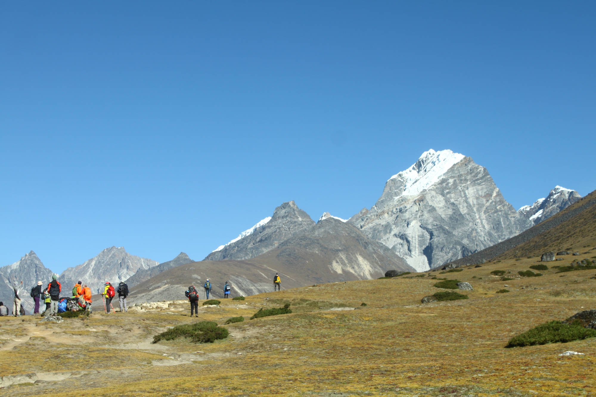
The trek is a non – technical, graded as a medium to hard trek and suitable for anyone in good physical shape who likes to hike over mountain trails and camp out. You should be in good physical shape for this trip and feel comfortable hiking 10 km to 20 km per day on a trail while carrying a day pack of about ten pounds. The trek crosses many passes, the highest at about 3 885 m, and should be considered moderately strenuous. The trek does not go to extremely high altitude, most hiking is between 2700 m and 4 000 m, but the dust and unrelenting afternoon winds can make the trek less pleasant than other Nepal treks. On some days altitude gains and losses of up to 750 m can be expected. At least one rest day is planned. Strengthen your knee muscles and prepare for steep descents.
A program of cardiovascular conditioning such as running, swimming, biking or aerobics is essential, but try to supplement your exercise with hiking on steep hills or running up and down steps. The more you can condition by closely simulating the activities of trekking, the better off you will be. While the trip is rated as moderate, good conditioning is essential to your enjoyment of the trek.
Remember that, the latitude of Nepal is between 26? and 30?N so it will warm at the lower elevations (short and T-shirt) while nights will be cool. Daytime temperatures will be between 10 ?C to 20 ?C at lower elevations and between 0?C to 5 ?C at our highest elevations. Temperatures at night will generally be cool – mostly between 0?C to 5?C with our highest camps having below freezing 0? C night time temperatures. Your sleeping bag should be rated to – 20 degrees. Since we are in the rain shadow of the Himalayas, we can expect the weather to be generally sunny, although an occasional storm could occur. This is high desert country.
The pace on the trek will be leisurely and unregimented. You are encouraged to walk by yourself or in small groups. Take time to visit local houses and temples, share a cup of tea or rakshi with our porters and the locals in the many chiyaa houses. Pursue interests in photography, bird-watching and botany, and sample the culture of the area you are traveling through. The trip will emphasize cultural interaction with both our staff and local villagers. Our guides, besides making sure we do not get lost, also pitch and take down the tents and are responsible for supervising the porters and evening camps. We will have one guide in front, one in the rear and for full trips, and one who floats throughout the group. They will be under the direction of the head guide or Sirdar.
Personal gear will be carried by porters. Porters can carry two members’ duffel bags. Since their combined load is 25 kg that means that your duffel cannot exceed twelve kilos. Tents are provided and are carried separately. We use roomy 2- person tents and you will be expected to share your tent with one other person.
This trip will be led by one of our senior guides who speaks good English. We are sure to have a variety of ethnic groups on our staff, but primarily Tamangs, Rais, Sherpas and Bramins. Our kitchen staff is truly amazing. They are well trained in multicuisine tastes and standards of hygiene. A typical day may see you being offered lemon tea and cookies when you awake, juice and tomato omelet for breakfast, stir-fried vegetables and salami for lunch, tea and cookies when you arrive at the evenings campsite, and fresh lentil soup and Tibetan momo for dinner. Our cooks have even been known to bake cakes over a double boiler arrangement. Our kitchen crew cooks on kerosene stoves instead of using wood so as not to add to Nepal’s growing deforestation problem. We try to offer you a good mix of native dishes as well as western style dishes.
We do not bring tables on the trek. We all eat either sitting on the ground or on the camp stools around a big kitchen tarp, and we have a dining tent that can be pitched in case of rain, snow or cold. In an attempt to minimize the amount of fuel we use, we provide one large bucket of hot water every afternoon for washing when we are camping at cold high elevations. We do not routinely provide hot water to each tent as this wastes too much fuel. A toilet tent is set up at each camp around a pit toilet.
This is not a tour where everything can be planned in advance to run like clockwork. You probably won’t experience exactly what is written in the daily itinerary. Often adjustments must be made in the field. We want you to participate in the trip with the clear understanding that things can go wrong. Adventure travel does involve certain risks both emotional and physical. One has to be flexible when traveling in Nepal and have a cheerful attitude.
Included in the Cost
- All airport transfers.
- All sightseeing in Kathmandu including guide, vehicle and entry fees for World Heritage Centers
- Twin-sharing accommodation in 2 ** hotels in Kathmandu and Pokhara.
- All the needed camping equipments.
- Assistance of our staff, adequate equipment for our staff, salaries, food and trekking insurance.
- 3 meals and warm drinks during trek.
- Return flight ticket Kathmandu – Pokhara & Pokhara – Jomsom.
- Annapurna Conservation Area fee & TIMS (Trekking Information Management System) card.
- Restricted area fee Mustang ($500 per person). GAMOW bag or
- high altitude pressure chamber and pulse oximeter.
- Satellite phone.
Not Included in the Cost
- International flights, airport taxes, visa fee for Nepal.
- Personal items, travelling insurance including emergency helicopter rescue/evacuation (required).
- Trekking gear including sleeping bag, appropriate clothing.
- Meals in Kathmandu and Pokhara except welcome dinner in Kathmandu.
- Cold drinks or bottled/canned beverages including soft drinks, alcoholic beverages and water (bottled) during trek and in Kathmandu and Pokhara.
- Tips and expenses of personal nature
| Start date | End date | Price | Status | Book |
|---|---|---|---|---|
| April 25, 2024 | May 15, 2024 |
4200
|
guaranteed | Book Now |
Map
Why Book With Us?
- Hassle Free & Best Price Guarantee
- Customer care available 24/7
- Hand-picked Tours & Activities
Get a Question?
Do not hesitage to give us a call. We are an expert team and we are happy to talk to you.
+977 9851157461
Related Tours
The former Buddhist Kingdom of Lo
“The Mustang trip was my first trekking experience and surpassed my expectations in every way. The views were stunning, the staff was extremely friendly and helpful, and each meal was creative and very satisfying.”
Greta Wu, Philadelphia PA.

