"Magnificent Travels through Nepal & Tibet"
"Magnificent Travels through Nepal & Tibet"
Kanchenjunga Camping Trek
Why Book With Us?
- Hassle Free & Best Price Guarantee
- Customer care available 24/7
- Hand-picked Tours & Activities
Get a Question?
Do not hesitage to give us a call. We are an expert team and we are happy to talk to you.
+977 9851157461
Tour Details
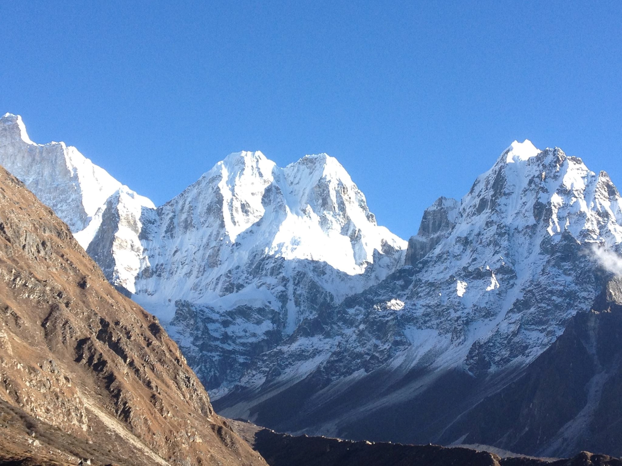
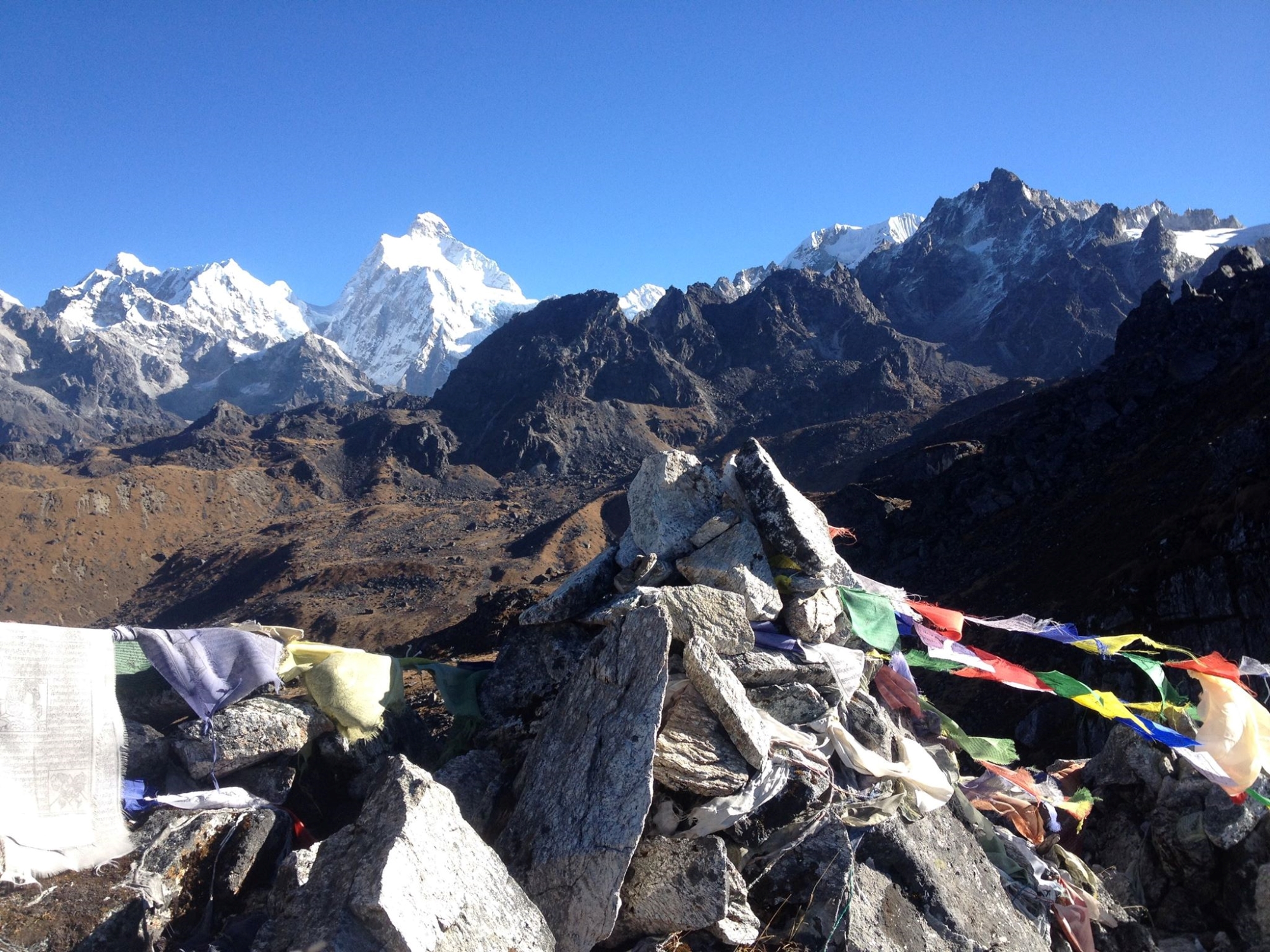
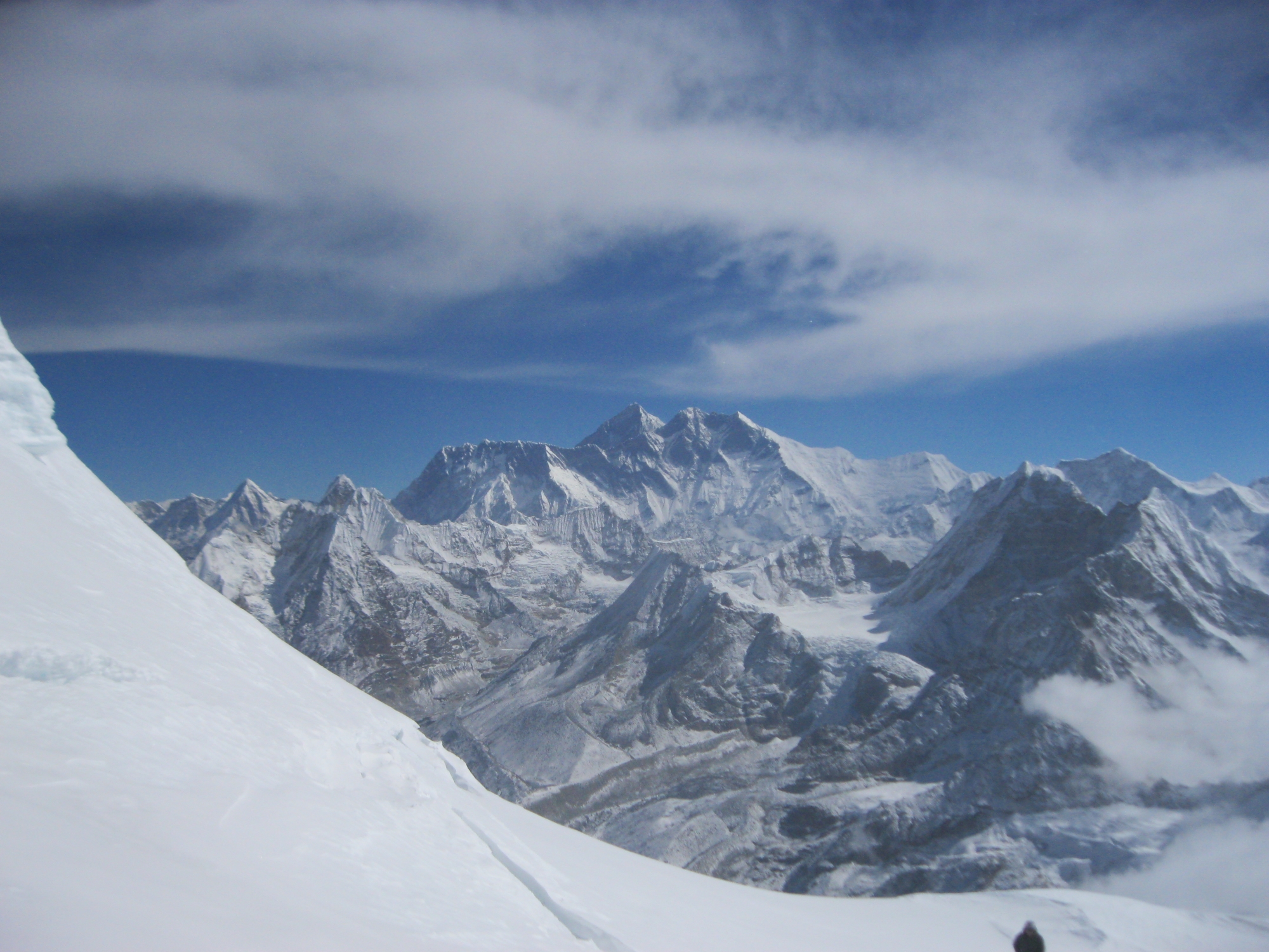
At 8 586 meter, Kangchenjunga is the third highest peak of the world. Surrounded by lush forests, dramatic mountain vistas and villages that abound in folklore it’s a paradise for trekking of the beaten trek. Kangchenjunga straddles the Nepal/Sikkim border. Its name is Sikkimese and refers to the five principal summits of the massif, roughly translated to “The five treasures of the great snow.”
The foot of Kangchenjunga is the least-visited among 16 protected areas in Nepal. Its location on the far north-eastern corner of the country makes it the area with the highest annual rainfall in the country and hence its richest biodiversity. The pristine coniferous forests, high meadows and wetlands are the most biologically rich areas of Nepal inhabited by many amphibians, birds, plants and animals found nowhere else. Many of the mammals found here are endangered like the snow leopard, the red panda and the musk deer. The Kangchenjunga Conservation Area has at least 69 varieties of orchid, 30 types of rhododendron and 15 out of 28 endemic plants of Nepal. Besides rainfall, it is the dramatic altitude variation from deep subtropical gorges to glacial valleys that makes this nature reserve such an attractive destination for trekkers.
Seen from afar the Kanchenjunga resembles a massive jumble of rock escarpments and fluted ice ridges with the mountain itself sticking up like a bear’s tooth. Not many people live here. Barely you will distinguish the scattering of little stone houses that comprise the lonely Sherpa, Rai and Limbu hamlets. The mountain is worshipped as a sacred place by both Buddhist and Hindus, the inhabitants of this unique region are extremely diverse and will be curious and eager to meet you. The objective of our trek is to attain Northern base camp at Pangpema. Standing in the shadow of Kanchenjunga becomes the realization of one’s long repressed secret ambition.
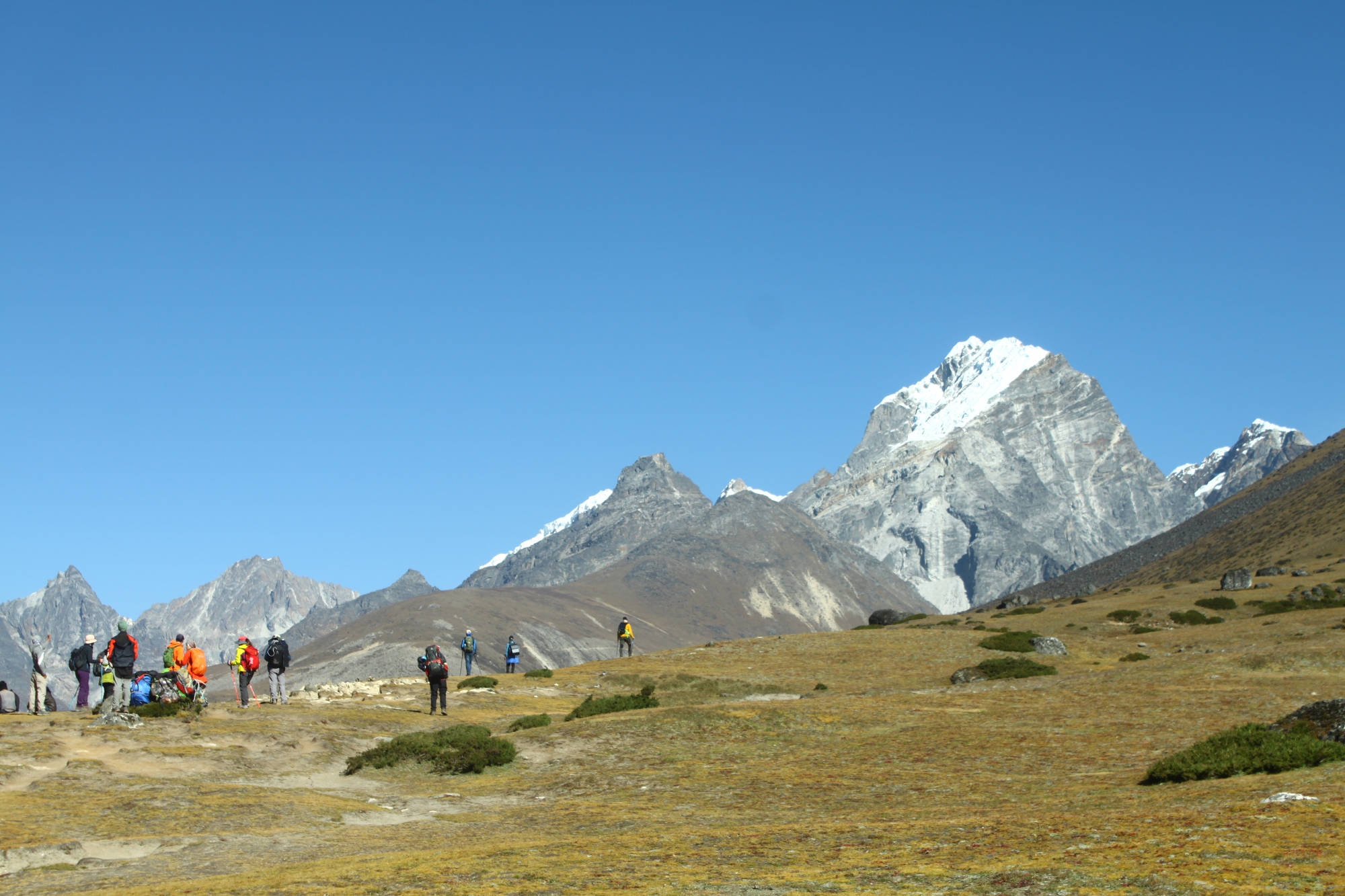
The trek to the Kanchenjunga Base camp takes about 19-days. The trek is non-technical and suitable for anyone in good shape who likes to hike on mountain trails and enjoys camping out for extended periods. This is not a backpack trip and porters will be used to carry your gear and camp staff will prepare all meals. The trek starts with a sweeping scenic flight from Kathmandu to Biratnagar covering the mountain ranges of Langtang, Everest and Kanchenjunga and the south Gangetic plain in Eastern Nepal. From Biratnagar we board a short flight to Suketar situated at the foot hills of Mount Kanchenjunga. From here we start trekking through villages untouched by the modern world enclosed by pristine rhododendron, oak and pine forests. Our route leads to the North Base Camp and the south side of Kanchenjunga offering you the best panoramas. The hiking can get quite strenuous sometimes while crossing the passes, but for every hard effort you make you will be rewarded with brilliant scenery as we will head higher towards the windswept rugged terrains with awesome views of the towering peaks of the Kanchenjunga massif under a clear wide blue sky.
Your journey in Nepal starts in Kathmandu, the bustling capital which is situated at 1 340 m. This vibrant place with friendly hospitable inhabitants has been called a big museum with colorful bazaars and more shrines and temples per square mile than anywhere else in the world. It’s a wonderful place to hang out and it’s highly recommended to plan some extra days here in case of delays in flight or trekking.
Short Itenary
Day 01 – Arrival in Kathmandu
Day 02 – Sightseeing in Kathmandu
Day 03 – Trek preparation day
Day 04 – Fly to Biratnagar & Fly to Suketar (2 420 m) – Trek to Phurumbu (1 800 m)
Day 05 – Trek Chiruwa (1 150 m)
Day 06 – Trek Sekhathum (1 270 m)
Day 07 – Trek Amjilossa (2 498 m)
Day 08 – Trek Gyabla (2 730 m)
Day 09 – Trek Ghunsa (3 595 m)
Day 10 – Rest day Ghunsa (3 595 m)
Day 11 – Trek Khangpachen (4 050 m)
Day 12 – Trek Lhonak (4 780 m)
Day 13 – Trek Pang Pema & Kanchenjunga Base Camp (5 141 m)
Day 14 – Trek Khambachen (4 050 m)
Day 15 – Trek Ghunsa (3 430 m)
Day 16 – Trek Pangbo Kharka (4 310 m)
Day 17 – Trek Phedi (3 390 m)
Day 18 – Trek Amji Khola (2 340 m)
Day 19 – Trek Yamphudin (1 670 m)
Day 20 – Trek Keshwa (1 960 m)
Day 21 – Trek Lali Kharka (2 266 m)
Day 22 – Trek Suketar (2 420 m)
Day 23 – Fly back to Biratnagar & fly back to Kathmandu
Day 24 – Extra day in Suketar incase flight delay
Day 25 – Extra day in Biratnagar incase flight delay
Day 26 – Extra day in Kathmandu
Day 27 – Extra day in Kathmandu
Day 28 – Fly back home
Itinerary
Pick-up at Tribhuvan International Airport, meeting with your guide and transfer to the hotel. First impressions of Kathmandu (1 350 m) – walk to medieval Kathmandu Durbar Square and explore the beautiful complex of palaces, temples, shrines and courtyards built by the ancient Nepali kings between the 12th and 18th century. We bring you to our office and Thamel – the vibrant tourist area with hotels, restaurants, bakeries and outdoor shops. We get to know each other over a welcome dinner, check formalities and equipment and discuss your itinerary.
Today we discover the highlights of Katmandu and the valley. We adapt the programm to your interests and desires and what you have seen before. Usually, we go to Pasupatinath on the bank of the Bagmati River, where the most important Hindu temples and burning ghats of Nepal are situated. In Bouddhanath we circumambulate together with Tibetan and Nepali Buddhist pilgrims the whitewashed stupa. Our sightseeing usually ends in Patan, the city of Beauty, an astonishing center of fine art and Buddhist and Hindu culture.
Last day in Kathmandu, we prepare the last formalities for your trek and help you with shopping for trekking equipment.
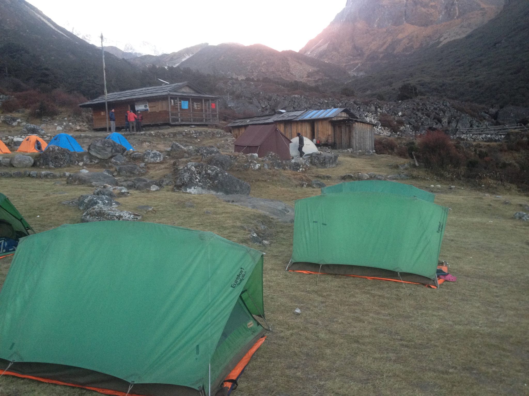
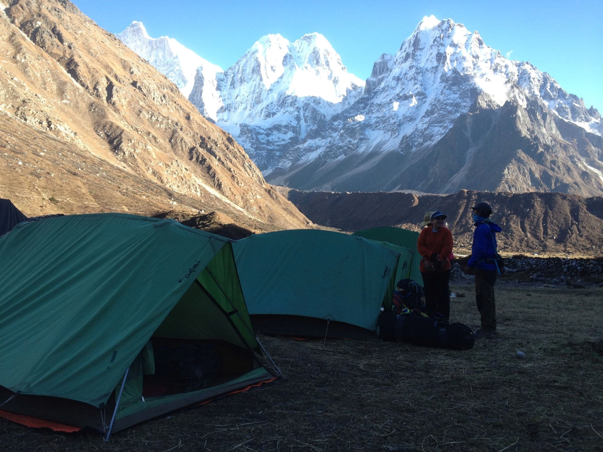
We drive to Tribhuvan Domestic Airport to connect our first flight to Biratnagar. A short 35 minutes long second flight brings us further to Suketar from where we start our trek to Phurumbu. After breakfast in Suketar (2 420 m) we make a gentle hike to the beautiful settlements of Bhotegaon and Tamor Khola valley situated at the left side of the major trail junction. While gently descending and ascending the trail you see a lot of vegetables like cauliflowers, millet, corn rice and potatoes. After 4 hours we reach Phurumbu village where we spend our first night at the camping site.
After breakfast we slowly start our trek climbing up and downhill while crossing the beautiful streams of Tamor Khola valley. We wander along the teahouses, local shops and schools of Linkhim (1 300 m), Tawa (1 120 m) and Nagadin (1 050 m). These region was once inhabited by the reputed Kirati warriors who first tried to unite the many kingdoms of Nepal to a single sovereign state. After hiking 5,5 hours we approach Chiruwa – a compact hamlet perched between a river and a steep hillside. We prepare ourselves for a quiet night in our tent camp.
We rise early, follow the trail at the river’s south bank and reach after 2 hours gentle walking the entrance of the National Conservation Park at Taplechok (1 380 m). We usually will start our days early during trek to avoid the hot sun during afternoon. While the staff completes the formalities with the National Park officers, we enjoy a warm cup of tea. After we climb through cardamom fields and dense mixed forest away from the Thamor river to the village of Lelep (1 750 m). From Lelep we descend again down to Tamor Khola where we cross the suspension bridge and make a last gentle walk to Sekathum where our large campsite will appear. Hiking hours: 6 h.
Trek to Amjilosa, which is situated on 5-6 hours walking distance from Sukathum. During this challenging day hike we enjoy dramatic scenery. After walking through a dense forest for 2 hours the valley narrows into a deep gorge. Soon you will hear the overwhelming sounds of the river and waterfalls cascading down from both sides of the valley. Here, we walk a manmade stone walkway along the river’s waterline which is an awesome spot for making pictures though we also have to concentrate on the trail. After we follow one more forest path and cross a suspension bridge before reaching our camping place at Amjilosa (2 498 m).
Leaving Amjilosa early, we climb a small ridge before crossing thick and obscure woodlands and descending to the slippery bridges of the Ghunsa river near Thyanyani (2 405 m). We spot a few animal shelters. For the first time during the trek the trail doesn’t seem to continually climb up and down and the valley widens up slightly. The last stretch of today’s hike is a steep path leading to the picturesque village of Gyabla (2 730 m) where we camp.
Today, during our 5 hour trek to Gyabla (Kyarpa) you will notice different flora like rhododendron, camellias and azaleas along the trail rather than bamboo and cardamom that we saw during the first days. On our way we pass the big settlement of Phale (3 140 m) before we reach the winter village of Ghunsa (3 595 m). From Phere an easy trail winds through conifer and pine forests leading to Ghunsa. Ghunsa is organized as a temporary settlement of Tibetan refugees where you can shop some homemade souvenirs. Here we will camp tonight.
Acclimatization day and optional trek (3 to 4 hours) to the Yamtari Khola which boasts a fantastic view of Kumbakarna (7 711 m) from the south side. Today you can explore the Ghunsa village, a large Sherpa settlement including a 400 year old monastery, a school and a Kanchanjunga Conservation Area check point. Today is a relaxation day !
On this stretch you enjoy the peaceful atmosphere of pine, deodar and rhododendron forests and the spectacular beauty of wild flowers and mountain scenery. This is definitely one of the most striking sections of our trek. After 5,5 h walking we reach the settlement of Khangpachen where we spent the night.
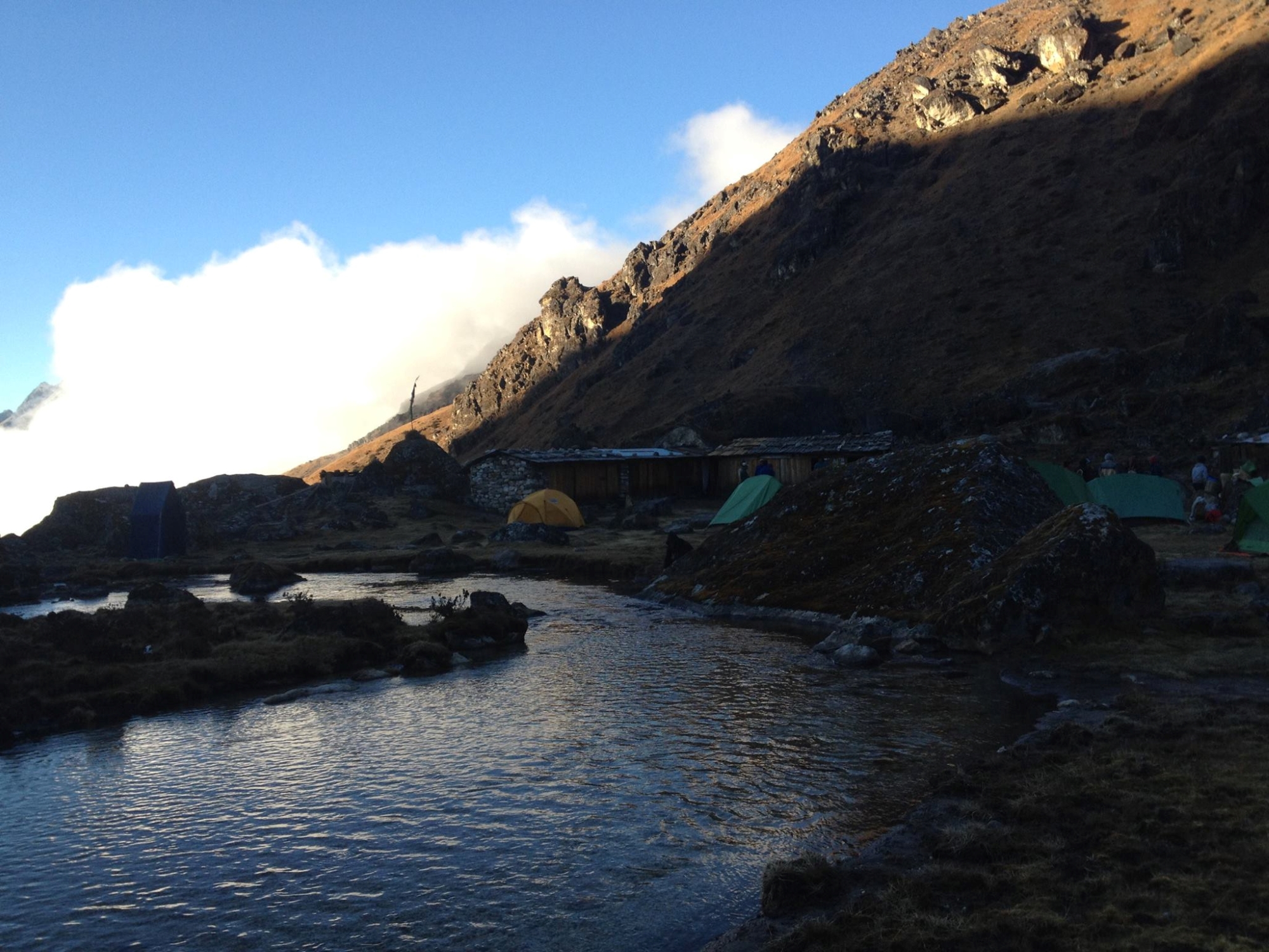
Today we head to Lhonak (4 780 m). This 5 hours scenic hike is going to be challenging because of the increasing altitude and a climb up a long section of landslides and moraines northwest of the Kanchenjunga glacier. We have to start early today, as the risk of rock fall and strong winds increases throughout the day. After lunch we cross some seasonal bridges and we will see from far a few stone shelters at Lhonak, situated at 4 780 m. Tonight we will camp there.
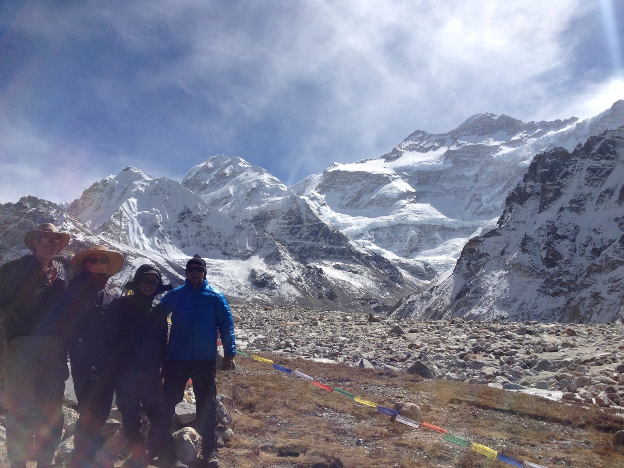
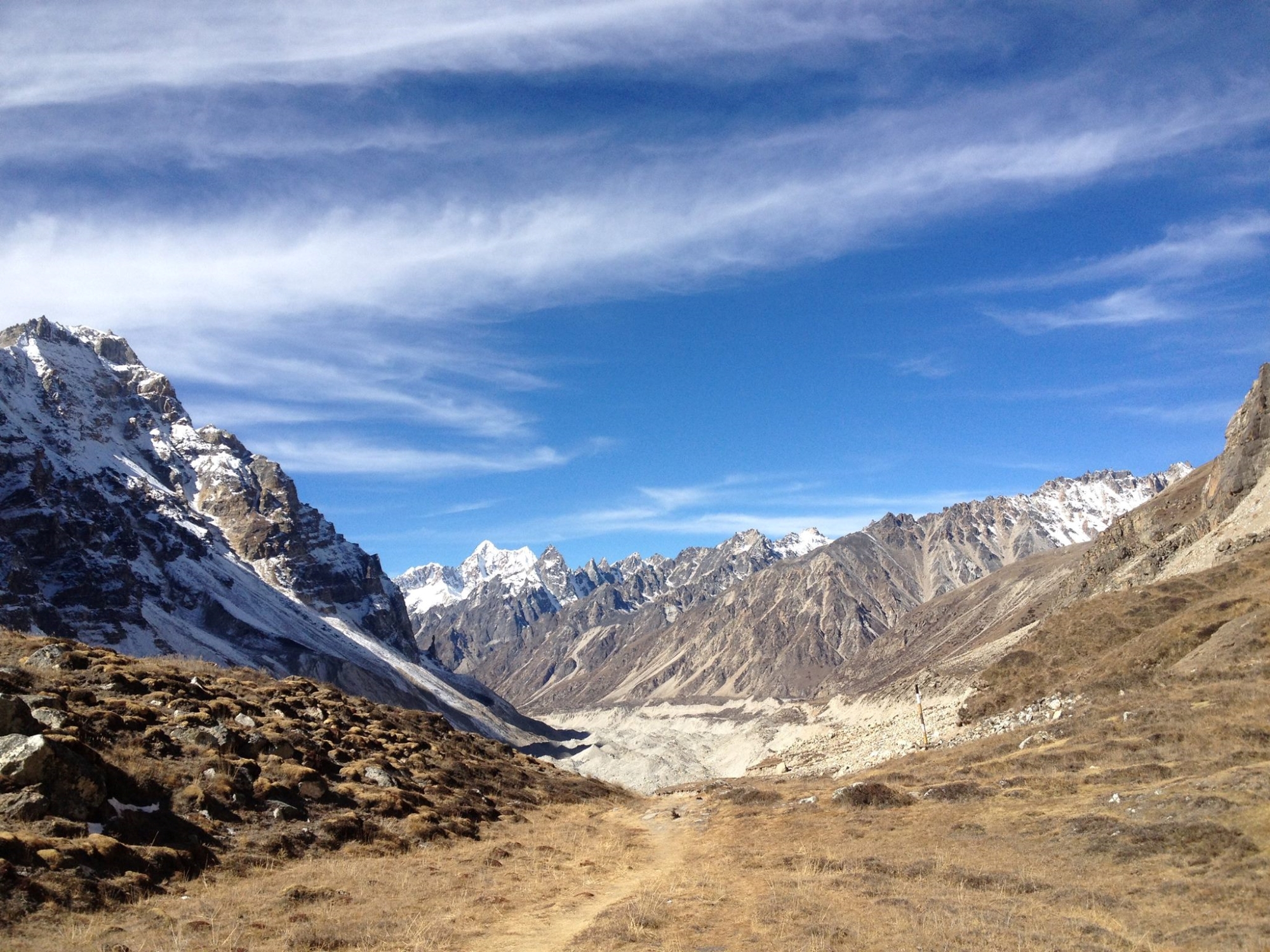
The track to Khanchenjunga Base Camp (5 141 m) from Lhonak climbs gently along the colossal lateral moraine of the Kanchenjunga glacier. The vistas over the peaks and the glacier now are absolutely stunning and we will make some stops to enjoy and remember the beauty of this place as much as possible. After lunch we climb steep for 1 h and finally we will see the few stone huts of Kanchenjunga Base Camp situated at 5 141 m. The estimated walking time is 4 hours today. We will camp and explore the Base Camp of Kanchenjunga. This camping place will be the highest of our entire trek.
After breakfast we climb a few hundred meters up to a view point from where you have an unforgettable panorama over Kanchenjunga, the Twins, Wedge Peak, Pyramid Pak and Tent Peak. After we descend slowly down to Khambachen (4 050 m) where we camp.
In 4 to 5 hours we return from Khambachen village back to the settlement of Ghunsa. We install our camp and enjoy another quiet evening.
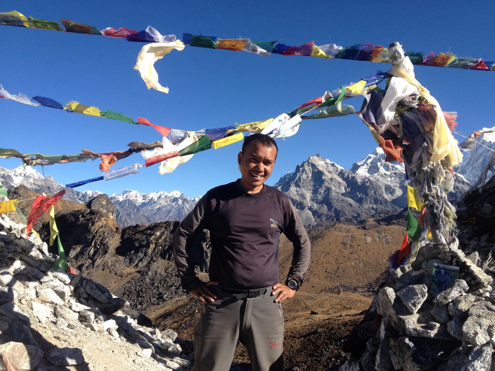
The trail climbs randomly Tamo La (3 900 m), Sele La (4 115 m), Senion La (4 660 m), Mirgin La (4 663 m) and Sinelapche La (4724 m). In the evening we will reach Pangbo Kharka where our camp will be set up. Consider today as a long hiking day as we will cross the passes today. Tomorrow we descend until we reach Phedi, located at 3 390m.
We descent 5 hours from Pangbo Kharaka to Phedi, enjoying views over the lush hillsides and over the southern slopes of Kanchenjunga. Tented camp in the meadows of Phedi village.
We follow the trail down through dense woodlands. In the evening we camp near the river junction in Amji Khola where a few stone animal shelters are placed. Walking hours: 5 – 6 hours approximately.
We hike from Amjilosa to Yamphudin in +/- 5 hours. The trail contains numerous climbs ups and steep down sections and zigzag trails. Tonight we camp at the remote settlement at Yamphudin situated at 1 670 m.
Today the trail climbs ups along beautiful villages and the Kabeli Khola (river). Only a few sections of the trail are considered flat and here you will find some exotic local villages. The Yamphudin to Keshwa stretch will take 6-7 walking hours. We camp at small village of Keshwa (1 960 m) from where we still have splendid views over Kanchenjunga and Mount Yalung Kang.
Gentle trek to Lali Kharka past picturesque multi ethnic villages. Overnight stay in tent camp.
Moderate hike to Suketar. On the way we passes farming terraces, local jungles of rhododendron, bamboo and other natural vegetation. Today we enjoy a farewell dinner party with our staff and we celebrate our successful trek to Kanchenjunga Base camp and the high passes!
Day 23 – Fly back to Biratnagar and Ktm
Day 24 – Extra day in Suketar incase flight delay
Day 26– Extra day in Kathmandu
Day 27 – Extra day in Kathmandu
Day 28 – Fly out Kathmandu
Trip Format
The trip starts in Kathmandu, the capital of Nepal, at an elevation of 1 340 m. A melting pot of Hindu and Buddhist cultures, Kathmandu is a treasure house of temples, shrines and medieval pagodas.
We will stay in a hotel in Kathmandu including private bath with hot water shower. We will have time to explore the three major cities within the valley: Kathmandu, Patan and Bhaktapur.You may visit Durbar Square and the Temple of the Living Goddess in Kathmandu, the five-storied Nyatapola Temple and exquisite wood carvings like the Peacock Window in medieval Bhaktapur; the Monkey Temple (Swayambhunath) on a hill over looking Kathmandu; Boudhanath containing one of the largest Buddhist Stupas in the world; Pashupatinath Temple on the river Bagmati complete with burning ghats for Hindu cremations; the Tibetan refugee camp with its rug factory; and the remarkable temples of Patan.
After two days sightseeing and preparations for the trek, we will fly to Birantnagar in the Terai where we catch the next flight to Suketa. Here our porters and guides will come to help us with duffel bags, food, kitchen equipment and tents, and our trek will begin.
For the first time two days we descend to Phurumbu (1 800 m) – Chiruwa (1 250 m) and we will pass confluence of the Maiwa Khola and the Tamur Khola which is the major rivers draining the snows of the high country to the north.
For the next three days we pass through many villages as we ascend the Tamur Khola to Hellock. Shortly after Hellock we reach the Gunsa Khola which we ascend for the next week. The next day or two is spent in the wild, steep lower Gunsa Khola Valley, usually high up on its side, on a surprisingly narrow and exposed trail. There are few inhabitants. Numerous delightful waterfalls are to be seen. The exposed and potentially dangerous parts of the trail are over when we reach Amjilessa (2 498 m).
Vegetation changes to bamboo, oak forest and higher up some rhododendrons. Impressive waterfalls are frequent. Two days from Amjilassa we come to Gunsa (3 430 m) a typical Bhotia settlement of sturdy wooden houses surrounded by potato fields and magnificent larch, juniper and rhododendron forests. These Tibetan type people have been little affected by tourism. They own large yak herds which we will find pastured all the way to Pangpema. Depending on how the group is acclimatizing we will take two to three days to reach Lhonak (4 780 m). Along the way we will see views of the northwest face of Jannu (7 711 m). From Lhonak we will hike about 3 to 4 hours to the shelf of Pangpema (5 100 m ) our highest camp. From here Kangchenjunga’s north face is immense. Several rest days have been scheduled to aid in acclimatization.
We return to Gunsa and cross passes named Sinelapche La, Tama La and Mirgin La until we descend to Whata on the Simbua Khola which drains the Yalung Glacier on the south side of Kangchenjunga. The maximum altitude reached in crossing these three passes is 4 663 m. A bonus on this route is a view of Jannu from the southwest as well as panoramic views of the south face o Kangchenjunga as we descend to Whata.
Our return to civilization first involves descending the Simbua Khola to about 2 970 m then climbing out of the main valley to the ridge-top pasture of Lassi (3 415 m) where we get a panoramic view of Jannu and the south side of Kangchenjunga. We then descend to Yamphudin (1 670 m), the first permanent settlement since we left Gunsa. The trail now travels through farmland as we first descend to the Kabeli Khola valley. From here it is about two to three days trekking to the airfield at Suketar where we fly back to Kathmandu (via a change of planes at Biratnagar in the Terai).
Included in the Cost
- Twin sharing accommodation in 3 *** (Superior Deluxe room at Potala Guest House Chhetrapati), hotel in Kathmandu.
- Welcome dinner at Nepali Chulo (Authentic Newari food and cultural dance party)
- Private car transportation during sightseeing in Kathmandu with experience cultural english speaking guide, all world heritate sites entry fees and all airport transfers.
- Return flight ticket Kathmandu – Biratnagar & Biratnagar – Suketar
- All the camping accommodation and foods.
- Necessary staffs, their salaries and travelling insurance
- Especial trekking permit for Kanchenjunga. TIMS Card (Trekking Information Management System), domestic airport tax, all ground transportations and governmental taxes.
Not Included in the Cost
- World Heritage entry fees in Kathmandu while sightseeing, Personal expenses like laundry, Communication, Personal shopping
- Meals in Kathmandu except welcome dinner
- Tips for guides and porters or staffs
- International Flights
- Travel Insurance (required)
| Start date | End date | Price | Status | Book |
|---|---|---|---|---|
| October 15, 2024 | November 11, 2024 |
$4600
|
guaranteed | Book Now |
Map
Why Book With Us?
- Hassle Free & Best Price Guarantee
- Customer care available 24/7
- Hand-picked Tours & Activities
Get a Question?
Do not hesitage to give us a call. We are an expert team and we are happy to talk to you.
+977 9851157461
Related Tours
Pangpema Base Camp of Kangchenjunga
“The meals are terrific on the trek. You have a wide variety –never boring. Dawa Lama Tamang & Kalu Tamang are the best when it comes to planning menus.”
Ruth Schoening, Littleton CO
Kanchenjunga Camping Trek
“We had an extraordinary experience on the trek, thanks to Kalu Tamang and the Nepalese staff. We, like most people, came for the mountains; we left with an appreciation of a diverse natural and cultural environment.”
David & Inga Reene, Poland

