"Magnificent Travels through Nepal & Tibet"
"Magnificent Travels through Nepal & Tibet"
Manaslu Circuit Lodge Trek
Why Book With Us?
- Hassle Free & Best Price Guarantee
- Customer care available 24/7
- Hand-picked Tours & Activities
Get a Question?
Do not hesitage to give us a call. We are an expert team and we are happy to talk to you.
+977 9851157461
Tour Details
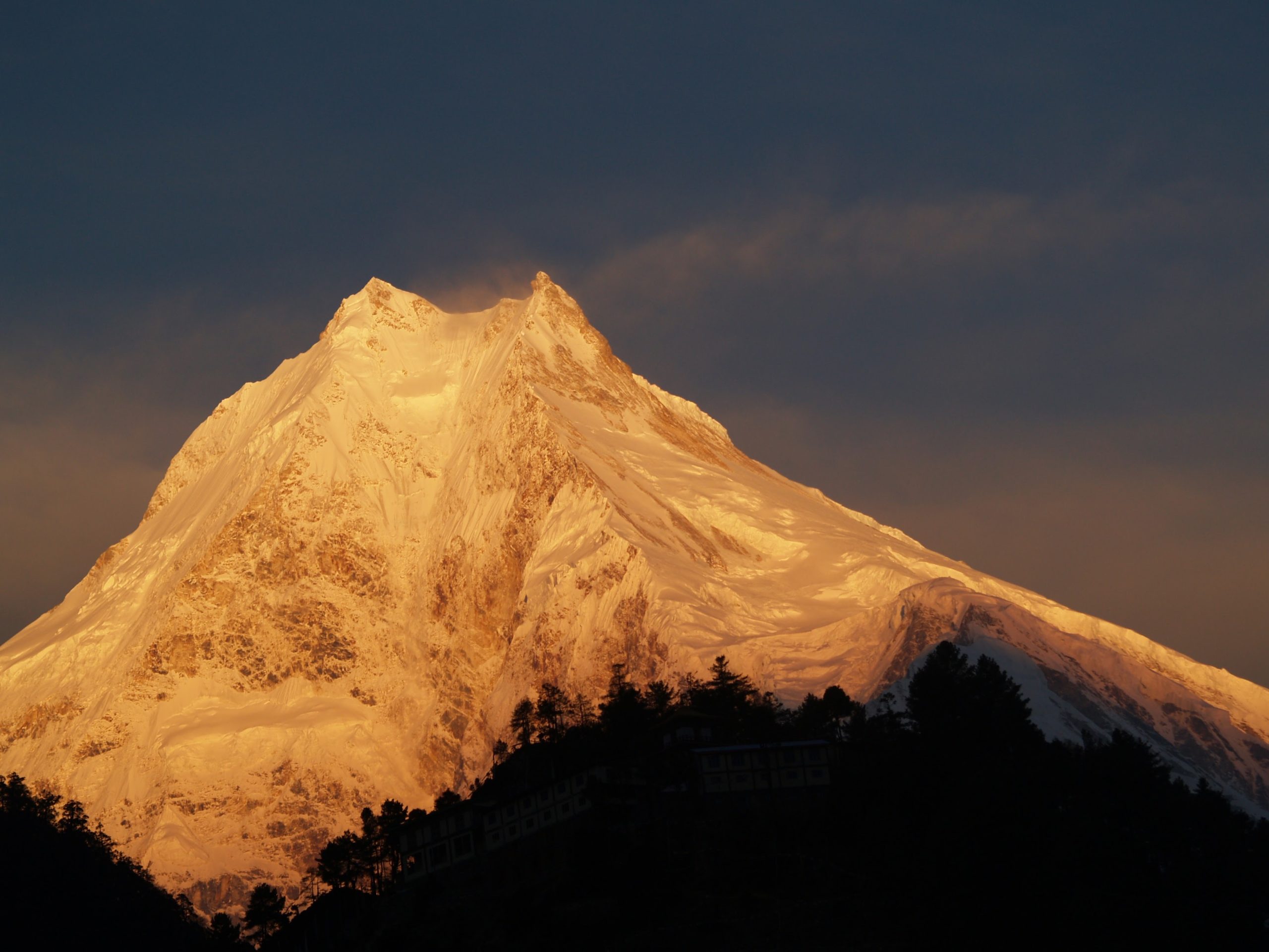
The most popular most traveled treks in Nepal go via Namche Bazaar toward Everest base camp or to the Annapurna region farther west. The goal of this trek will be the remote and less frequented circle route around Manaslu, the world’s eight highest peak (8 163 m). This is a fascinating and beautiful region along the border of Nepal and Tibet. It is a long trek of 18 days, with all the rewards that such a longer commitment can bring.
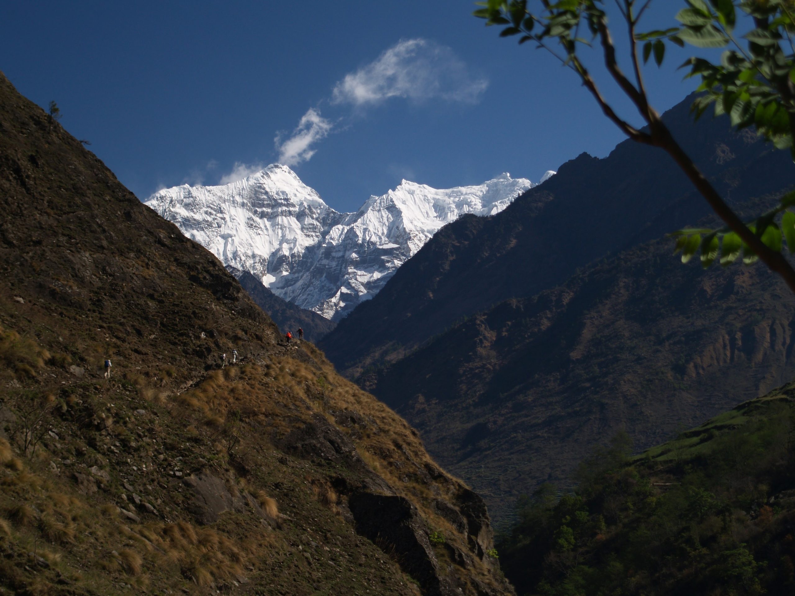
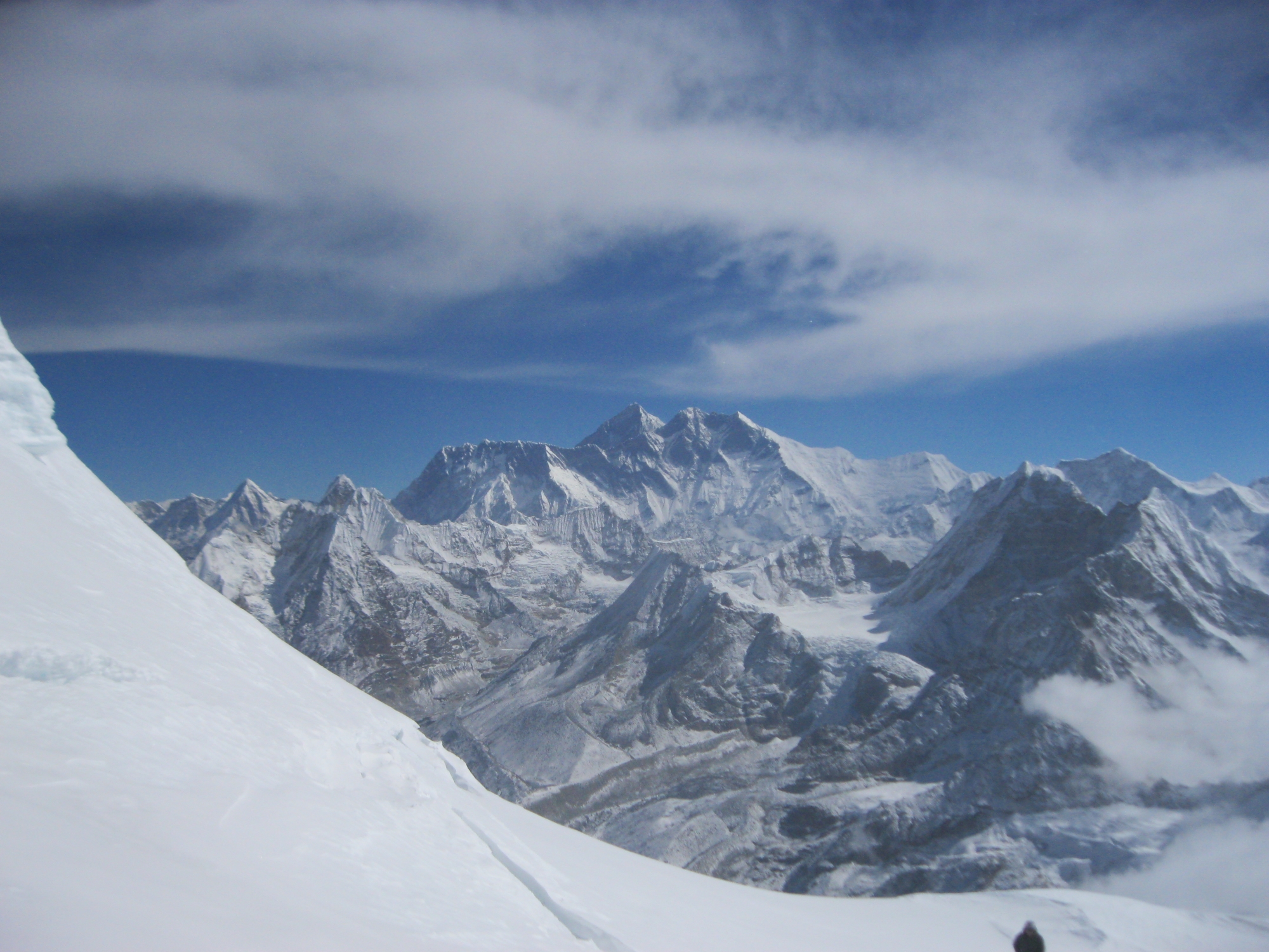
Manaslu has long been closed to foreigners because of its proximity to the Chinese border, since 1992 the area is open or visitors, but still a special permit is required. The trails are relatively empty of trekkers, the culture and traditions of the people are intact, the scenery magnificent. The trek follows a route that has long been craved by Himalayan buffs. Going north behind Himalchuli (7 893m), Peak 29 (7 871 m) and Manaslu (8 163 m), it explores villages where westerners are still a rare sight and the way of life unchanged for decades or maybe, even centuries.
Heading up the Buri Gandaki River valley to very near the Tibetan border we cross 5 100 m high Larkya La Pass to the headwaters of the Dudh Kosi river. Some of the best pristine rhododendron forests in Nepal- which will be in full bloom on these northern slopes on the spring trip – are found along this stretch of the Dudh Koshi. We reach the Marsyangdi Gorge and the main Annapurna Circle trail which we follow for only a couple of days until we end the trek at Besi Sahar.
Short Itenary
Day 01: Arrival in Kathmandu
Day 02: Sightseeing in Kathmandu Valley
Day 03: Drive & Trek Gorkha
Day 04: Trek Kanchok (927 m)
Day 05: Trek Arughat (514 m)
Day 06: Trek Soti Khola (710 m)
Day 07: Trek Machha Khola (900 m)
Day 08: Trek Jagat (1 410 m)
Day 09: Trek Nygyak (2 340 m)
Day 10: Trek Ghap (2 380 m)
Day 11: Trek Namrung (2 540 m)
Day 12: Trek Lho Gaon (3 180 m)
Day 13: Trek Samagaon (3 530 m)
Day 14: Rest day Samagaon (3 530 m)
Day 15: Trek Samdo (3 860 m)
Day 16: Trek Dharamsahala (4 460 m)
Day 17: Trek Bimtang (3 590 m)
Day 18: Trek Gho (2 560 m)
Day 19: Trek Tal (1 680 m)
Day 20: Trek Besisahar (800 m)
Day 21: Busdrive to Kathmandu
Day 22: Kathmandu
Day 23: Fly out Kathmandu
Itinerary
Pick-up at Tribhuvan International Airport, meeting with your guide and transfer to the hotel. First impressions of Kathmandu (1 350 m) – walk to medieval Kathmandu Durbar Square and explore the beautiful complex of palaces, temples, shrines and courtyards built by the ancient Nepali kings between the 12th and 18th century. We bring you to our office and Thamel – the vibrant tourist area with hotels, restaurants, bakeries and outdoor shops. We get to know each other over a welcome dinner, check formalities and equipment and discuss your itinerary.
Today we discover the highlights of Katmandu and the valley. We adapt the programm to your interests and desires or what you have seen on a previous visit to Nepal. Usually, we go to Pasupatinath on the bank of the Bagmati River, where the most important Hindu temples and burning ghats of Nepal are situated. In Bouddhanath we circumambulate together with Tibetan and Nepali Buddhist pilgrims the whitewashed stupa. Our sightseeing usually ends in Patan, the city of Beauty, an astonishing center of fine art and Buddhist and Hindu culture.
You board a local charter bus for 5 hours on the road between Kathmandu and the historic town of Gorkha, the start of your trek. The road follows the beautiful Trisuli River for much for the route. By lunchtime we will reach Gorkha at about 1 200 m where the palace of Prithvi Narayan Sha the founder-king of Nepal is now a holy shrine. Here the porters and guides, who have shared your ride from Kathmandu, will help unload the bus. Off will come duffel bags, food, kitchen, equipment and tents. Then our trek will begin. We start by climbing to the palace of the old Gorkha king perched on a ridge above the town. After a 2.5 h walk we arrive at the campsite near Kalika Temple.
Today’s hike takes around five hours and offers lovely views of the Gorkha Himal. We enjoy a scenic farmer area including orange and banana trees, rice terraces, corn fields. The settlement of Kanchok (927 m) village is tiny has been created for tourist camping and has a few shops selling essential supplies.
We continue our way through cultivated terraced hillsides and villages. The trail ascents and descents to Buri Gandaki stream which we will follow the coming days. When we reach the Maudi Khola we enjoy our lunch at the riverbank. After 4.5 h pleasantly walking across streams and fields we reach Arughat Bazaar (514 m). Arughat is the second largest hill town in the Gorkha district and is particularly distinctive and beautiful, being bisected by the Budhi Gandaki River in the center. We show our travel permits at the when we enter the Bazaar and settle down at our pleasant camping place.
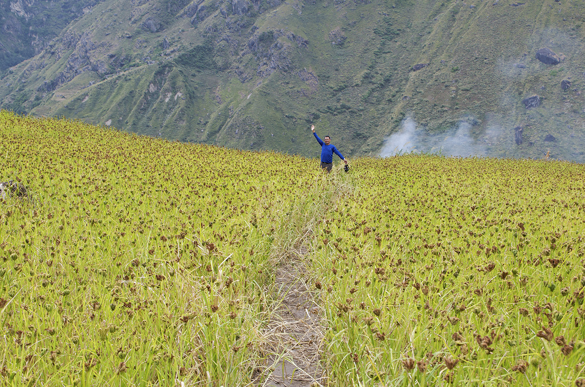
We follow the stone-paved street north through the bazaar, passing a hydro-electric plant and follow the path through millet and rice fields to Almara. The next section is forested and many monkeys swarm here. Soon we reach Sante Bazaar, where there is a group of shops and thatched houses and also a shady pipal tree, from where you have a good view of Sringi Himal (7 187m) up-valley. At this point the trek becomes harder as the valley grows steeper and the trail crosses the Arket Khola via a suspension bridge and passes the shops of Arkhet (760m). The stone-paved trail climbs through fields and across an outcrop of rock. After we walk down to a cascading waterfall and climb steep up to the Gurung and Magar village of Kyorpani situated at 820 m. The path then comes down the Soti Khola (710 m) where we camp at a small cozy camping site. The valley of Soti Khola is famed for her natural honey.
As we continue the environment changes, the valley becomes narrow and we now trek through beautiful sal forests. The valley opens again and then we climb above huge rapids on the Buri Gandaki on a trail blasted out of vertical rock walls. We head down again to the river and traverse to the village of Machha Khola (900 m) where we prepare our camp after 7 hours walking .
Today we will do typical Himalayan hiking with many ups and downs over ridges, across streams, along meandering gravel bars and up steep valleys. We reach the hot springs in the center of the small, terraced village of Tatopani and enjoy the hot water. A mild climb through the woods past some spectacular waterfalls brings us to Doban (1 000 m), where we lunch. From this point the trail climbs high above Buri Gandaki to descend again into the wide valley. After 6 hours walking we reach the beautiful flagstone village square of Jagat (1 410 m). We camp in the center of the village, on a beautiful grass field where you can buy a cold beer in the nearby shops.
After descending a long “Gurung staircase” to the Buri Gandaki, we climb a terraced hill to Saguleri, from where we have spectacular view over the Sringi Himal (7 187 m. ) At Gata Khola we cross the river again via a long suspension bridge and climb up to Philim, a large Gurung village with fields of corn and millet and the headquarters of the Manaslu Conservation Area Project. We visit the information center. We climb further up to Nyak (2 340 m) and arrive our camp after 7 hours hiking.
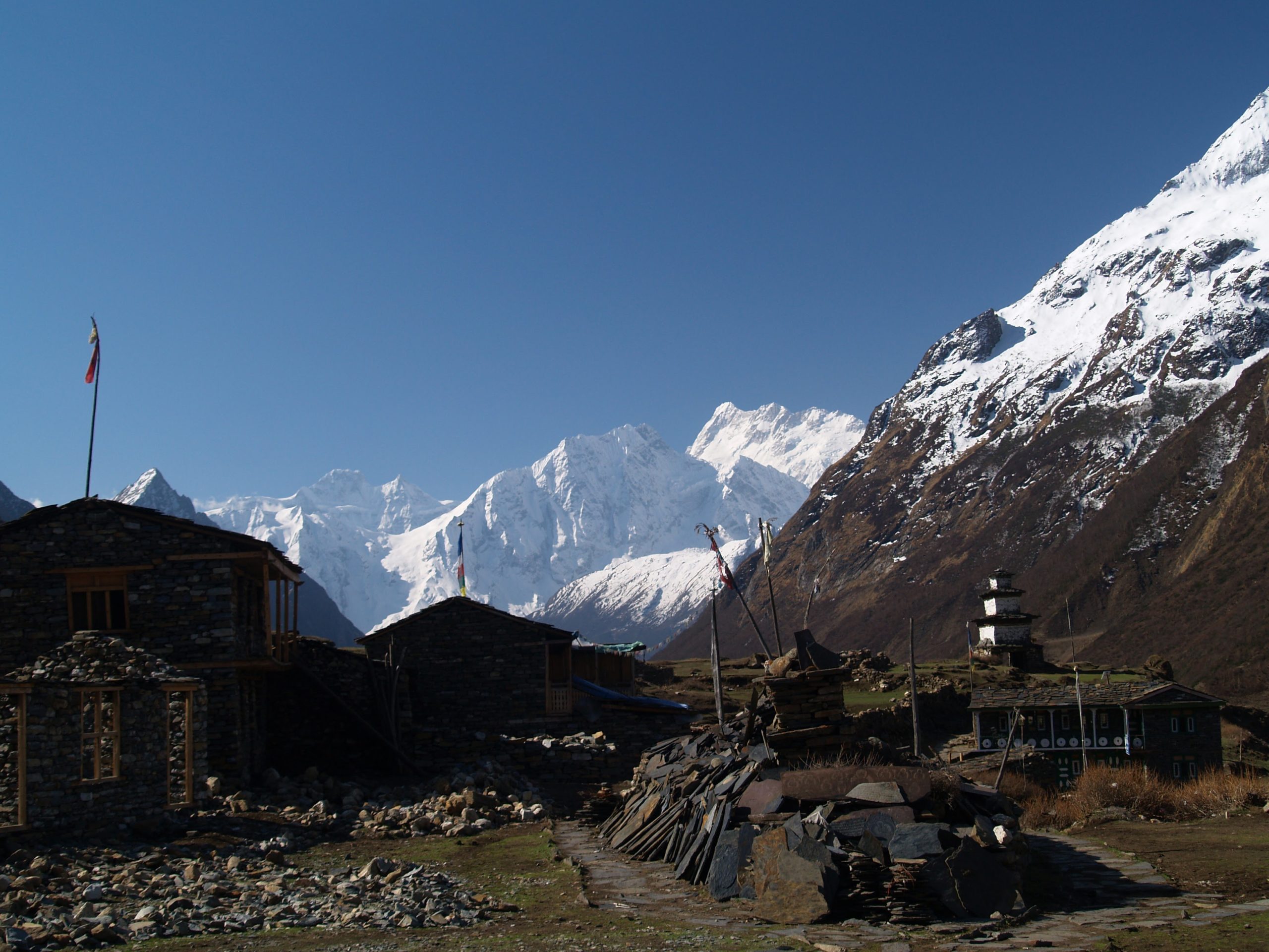
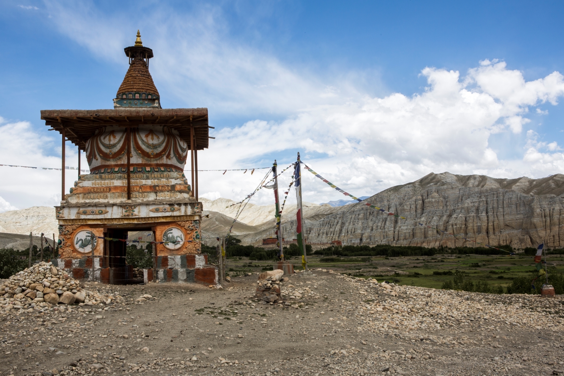
Beyond Eklai Bhattim our route enters a narrow, dramatic gorge with towering walls and a thundering waterfall. We cross the river several times by suspension bridges and leave the canyon at the village of Deng. In Deng we enter the Nubri region, which is inhabited by Gurungs who practice Buddhism. The Buri Gandaki valley turns from north-south to east-west and the route has now crossed the main Himalayan range. We face more elevation gains and climb continuously through forests and corn and wheat fields until we reach our camp, Ghap situated at 2 380 m. Since the upper Buri Gandaki region is inhabited by Buddhists, chortens – Buddhist shrines -, mani stones and walls and kani – village entry gates- will dot the landscape now. The mani stones around Ghap are particularly outstanding. Walking time: 4 h.
We ascend through dense forest of fir, rhododendron, bamboo and oaks, alive with birds. We cross the Buri Gandaki over a wooden bridge and continue our way over staircases. We can be watched by langur monkeys or the danphe, the colorful impeyan pheasant, the national bird of Nepal. We start to enter alpine territory and are treated on close-up views of Manaslu (8 156 m) and Ganesh (7 221 m). We eventually reach Namrung, the first village in Nubri, a region of purely Tibetan inhabitants by lunchtime after 5 h hiking.
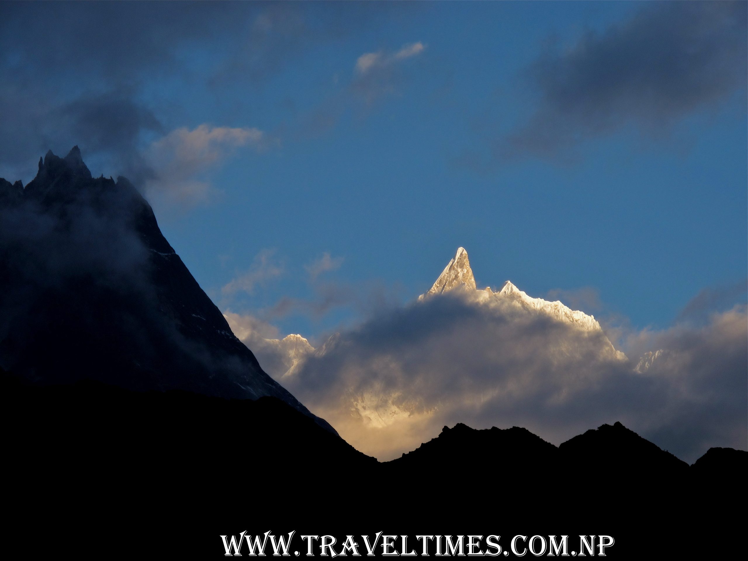
Above Namrung the valley opens out and the views get spectacular as Manaslu (8 150 m), Manaslu North (7 774 m), and Naike Peak appear at the head of the valley. In the villages, the stone houses are clustered together and share a common roof, and the people dress in Tibetan chubas – thick, woolen wraparound robes. The strange – looking platforms in the fields are watchtowers where villagers spend sit all night to scare bears away from the crops. We set up camp in Lho (3 180 m), a lively, sprawling village with a new chorten and a small gompa (monastery). From our camp we have breathtaking views of the sunrise and sunset over Manaslu and Manaslu north. Walking time: 5 h.
We continue our climb onto a plateau and enjoy white vistas of Himalchuli (7 893 m), Ngadi Chuli (7 879 m). After 4 h walking we reach our lunch and camp place Samagaon situated at 3 530 m. The gompa is visible in the distance, situated against a wooded moraine at the end of the village. The extensive village of Samagaon is nestled in the valley, at this elevation the only crops grown are potatoes and barley. The villagers keep herds of yaks and also a few horses. The big occupation here is weaving and we’ll see women on looms working at their craft.
We have a rest day and acclimatization day in Samagaon. Acclimatizing is best done by being active; a great full day excursion is a hike to Manaslu Base Camp, where you will have stunning views of the lake, glacier and valley.
We walk up trough beautiful birch woods to Samdo (3 860 m), only 4 hours away. On the way we enjoy beautiful mountain views. We cross the river on a small bridge and river rocks, continue along the left side of the long mani walls at Kermo Kharka, and soon afterwards spot the entrance chorten of Samdo high on a cliff. Samdo is a nice village where you can learn about Tibetan lifestyle and culture.
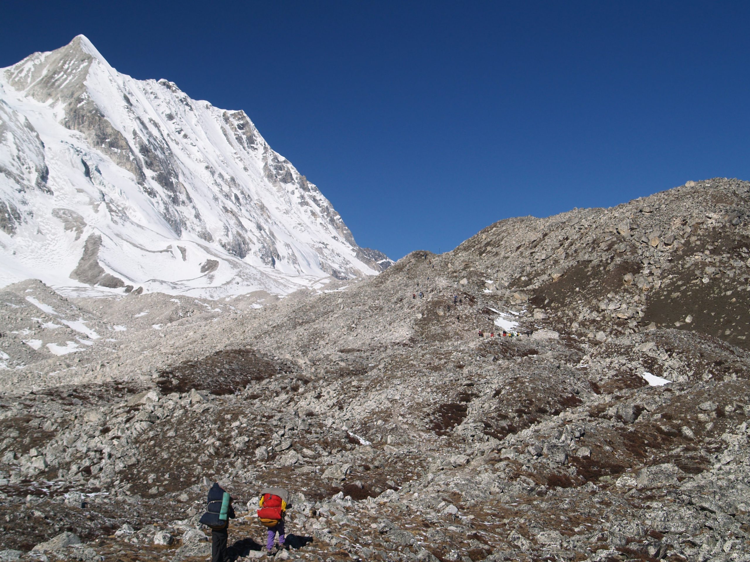
We trek along a Tibetan trade route through Larkya and make a steep ascent to Dharamsala. Climbing through tundra and juniper opposite the Larkya Glacier which tumbles down from Manaslu North, we may hear and see avalanches roar down this peak. After four hours of climbing past more glaciers, through open plateaus with more mountain views we come to the campsite at Dharamsala, our last camp for the Larkya La pass. We lunch here, keep us warm and enjoy a quite afternoon, so we will be fit to cross the pass tomorrow.
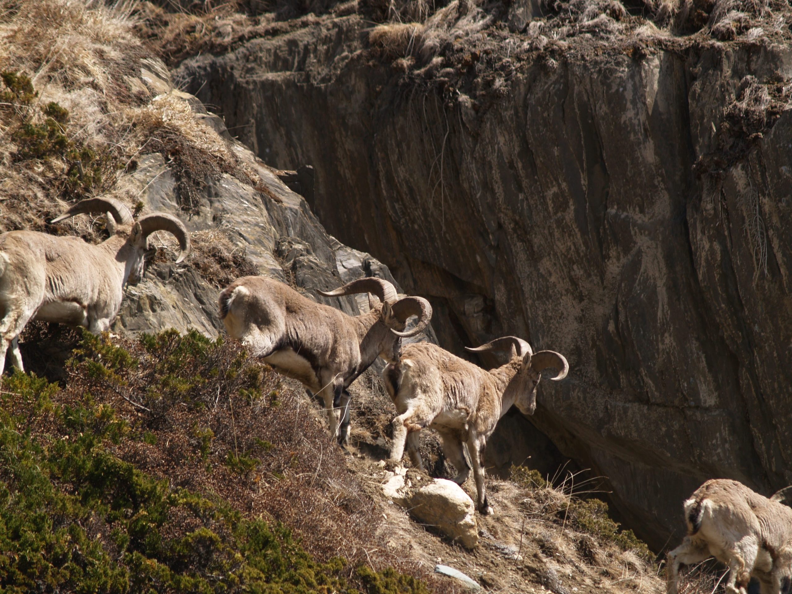
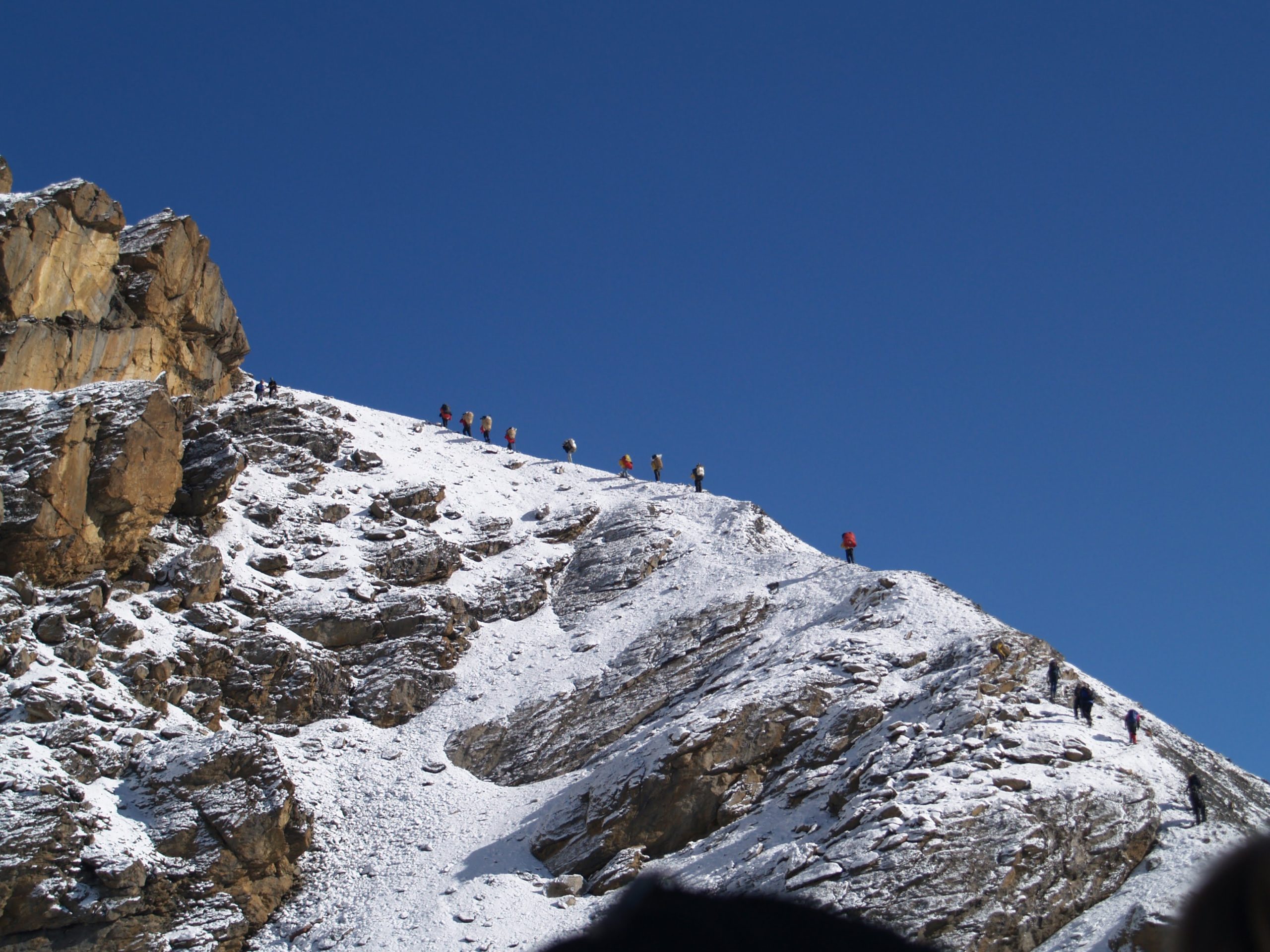
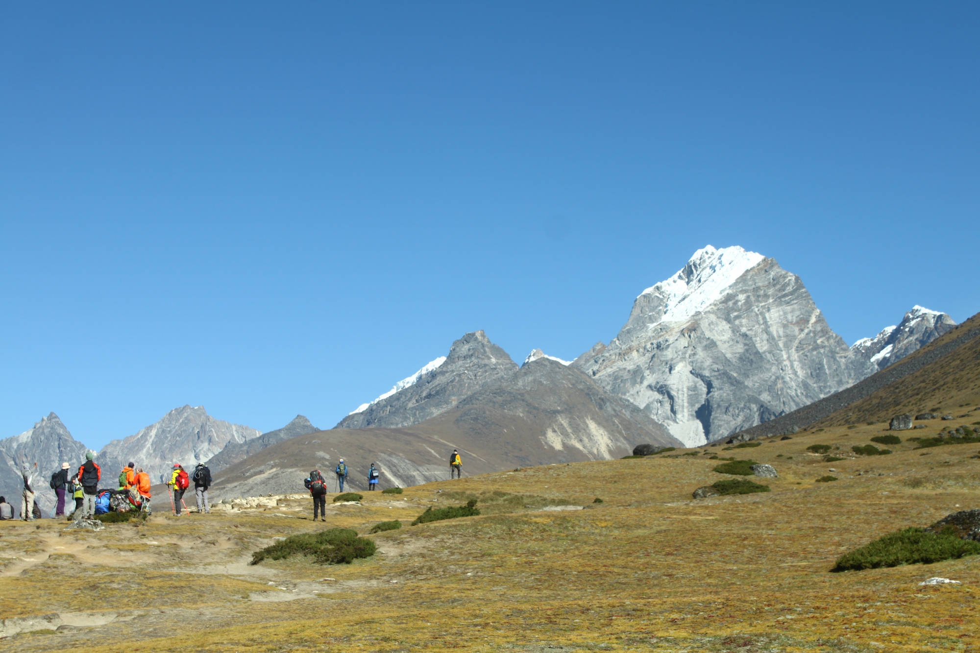
Today we cross the Larkya La Pass (5 100 m), the highest point of our trek. During our trek we enjoy views on Cho Danda, Ganesh Himal and Larkya Peak (6 250 m). We continue across the moraines of the glacier and past frozen lakes. Often through snow – look for footprints from snow leopard or bluesheeps – we make a gradual ascent which becomes steeper only in the last section to the pass. The climb takes about 4 h and we’ll start early in the morning to make our trip safe. From the pass we get our first glimpse of peaks in the Annapurna Massif – Himlung Himal (7 126 m), Cheo Himal (6 820 m), Gyaji Kung (7 030 m), Kang Guru (6 981 m), and Annapurna II (7 937 m). The descent from the top starts out steep gradually getting easier the more it goes down. After 7 h we arrive at camp in Bimtang – plain of sand – situated at 3 590 m.
We descend 6 hours along glacial streams through beautiful pine and rhododendron forest. We cross fields, climb and descend a ridge to camp at Gho (2 560 m). In Gho you find the first teashop and lodges since Jagat. Part of Lamjung’s peak is visible.
We descend to the Dudh Khola separating the Manaslu and Annapurna ranges. At Dharapani the route joins the Annapurna Circle Trek route and Coca Cola, beer, trekkers hotels appear frequently each day as well as a dozen of other westerners. You may experience a culture shock at this point. As we leave Dharapani we follow the main Annapurna Circuit trail and soon cross the Marsyangdi River. We continue along a high, winding, stunning cliff-side trail past several small teahouses at Khorte. We descend to the Marsyangdi River and traverse it again. In front of us we see the lovely settlement of Tal and the beautiful cascades.
We descend fast during the last 2 days, returning from Tal to the lush, subtropical jungle of Besisahar. In Besisahar (800 m) we set up our last campsite and celebrate our last night’s party with the staff and porters.
We end our trek with a 5 hour long private bus drive to Kathmandu.
On this last free day you have plenty of opportunity to enjoy more sights in Kathmandu: you can make a daytrip to the splendid five storied Nyatapola Temple and exquisite woodcarvings like the Peacock window in medieval Bhaktapur, clim the long stairs to the stupa of Swayambhunath (Monkeytemple) or visit the sleeping Vishnu at Budhanilkantha. You can also shop, relax and drink coffee in the bakeries of Thamel or the Garden of Dreams. Traveltimes Treks recommends you plan one extra day at the end of your trekking in case in case of delayed schedules during your travel.
Transfer to Tribhuvan Airport – we hope you enjoyed your stay!
Extra days:
If you like to stay longer in Nepal: Traveltimes Treks can offer you plenty of suggestions, we can arrange rafting and safari trips, helicopter flights, mountain biking, multi day tours to old historical city of Bhaktapur, the mountain stations Nagarkot & Dhulikhel or retreats in the serene monasteries of Namobuddha and Kopan.
Trip Format
Nepal is like not home. It is exotic, it is wonderful, but it is also different. Great elevation changes, differences in customs and language, menu variations, lodge limitations, and the many other mysteries and wonders of travel in Nepal are all conditions you must be physically and mentally prepared for. The itinerary may change. You may meet unknown hardships as well as unexpected pleasures. Come with an open mind and positive spirit.
You should be in good physical shape for this trip and feel comfortable hiking 12 to 20 km per day on a trail while carrying a day pack of about 5 kg. The trek is moderate overall but with several strenuous days. One strenuous day will be when we cross Larkya La Pass, involving some hiking on snow at high altitudes followed by a steep 1 500 m descent. While the trip has been designed to gradually acclimatize you to altitude, five of our camp will be above 3 300 m and the highest camp will be at almost 4 500 m. On some days altitude gains of up to 1 000 m or losses of up to 1 500 m can be expected. Your enjoyment of the trip and the integrity of the group depend on the stamina and conditioning of each individual.
A program of cardiovascular conditioning such as running, swimming, biking or aerobics is essential, but try to supplement your exercise with hiking on steep hills or running up and down steps. The more you can condition by closely simulating the activities of trekking, the better off you will be. A principal requirement is a cheerful willingness to accept and even savor the many surprises that this exotic region of the world will undoubtedly have in store for us.
We try to allow a pace on the trek that will be moderate and unregimented. You are encouraged to walk by yourself or in small groups. Take time to visit local houses and temples, share a cup of tea or rakshi with our porters and the locals in the many chiyaa houses. Pursue interests in photography, bird-watching and botany, and sample the culture of the area you are traveling through. The trip will emphasize cultural interaction with both our staff and local villagers.
Remember that, the latitude of Nepal is between 26°C and 30°C so it will warm at the lower elevations (short and T-shirt) while nights will be cool to cold depending on the elevation. Daytime temperatures will be around 15°C at the lower elevations (20°C on spring trip) and between 5°C and 10°C at our highest elevations. Temperatures at night will in general be cool, ranging from 0°C to 5°C except for the nights in the upper Buri Gandaki. Below freezing temperatures – 5°C (or even down to – 10°C on fall trips) may occur at our two highest camps during the night, although the temperature rapidly climbs once the sun reaches our camp. The weather at this time of year is generally sunny, with the day often starting out cloudless. During some of the afternoon, clouds start to build up but only rarely lead to rain or snow (fall trip only) in the late afternoon or evening. Cloudy weather and precipitation are more likely for spring trips than fall trips.
Personal gear will be carried by porters. Porters can carry two members’ duffel bags. Since their load is 25 kg, this means that your duffel cannot exceed twelve kilo. Tents are provided and are carried separately. You will be expected to share your tent with one other person.
This trip will be led by one of our senior guide who speaks good English. The guides, besides making sure you do not get lost, are responsible for supervising the porters and evening camp. We will have one guide in front, one in the rear and two who float throughout the group. We are sure to have a variety of ethnic groups on our staff, but primarily Rais and Tamangs.
Our kitchen staff is truly amazing. They are well trained in western tastes and standards of hygiene. A typical day may see you being offered lemon tea and cookies when you awake, juice and tomato omelet for breakfast, stir-fried vegetables and salami for lunch, tea and cookies when you arrive at the evenings campsite, and fresh lentil soup and Tibetan Mo:Mo for dinner. Our cooks have even been known to bake cakes over a double boiler arrangement. Our kitchen crew cooks on kerosene stoves instead of using wood so as not to add to Nepal’s growing deforestation problem. We try to offer you a good mix of native dishes as well as western style dishes.
We do not bring tables and eat sitting on the ground or on the camp stools. We all eat sitting on a big kitchen tarp, and we have a dining tent that can be pitched in case of rain, wind or cold. In an attempt to minimize the amount of fuel we use, we provide one large bucket of hot water every afternoon for washing when we are camping at cold high elevations. We do not routinely provide hot water to each tent as this waste too much fuel. A toilet tent is set up at each camp around a pit toilet. Each member is issued a bottle of iodine water-purification solution.
This is not a tour where everything can be planned in advance to run like clockwork. You probably won’t experience exactly what is written in the daily itinerary. Often adjustment must be made in the field. We want you to participate in the trip with the clear understanding that things can go wrong. Adventure travel does involve certain risks both emotional and physical. One has to be flexible when traveling in Nepal and have a cheerful attitude.
Included in the Cost
- All sightseeing in Kathmandu including guide, vehicle and entry fees for World Heritage Centers.
- Twin-sharing accommodation in 2 ** hotel in Kathmandu.
- All the needed camping equipments.
- Assistance of our staff, adequate equipment for our staff, salaries, food and trekking insurance.
- 3 meals and warm drinks during trek. Private Tourist Bus return.
- Manaslu Conservation Area fee (special permit) & TIMS (Trekking Information Management System) card, Annapurna Conservation Area Project fee etc.
Not Included in the Cost
- International flights, airport taxes, visa fee for Nepal.
- Personal items, travelling insurance including emergency helicopter rescue/evacuation (required).
- Trekking gear including sleeping bag, appropriate clothing.
- Meals in Kathmandu except welcome dinner in Kathmandu.
- Cold drinks or bottled/canned beverages including soft drinks, alcoholic beverages and water (bottled) during trek and in Kathmandu.
- Tips and expenses of personal nature.
| Start date | End date | Price | Status | Book |
|---|---|---|---|---|
| October 1, 2024 | October 22, 2024 |
3900
|
guaranteed | Book Now |
Map
Why Book With Us?
- Hassle Free & Best Price Guarantee
- Customer care available 24/7
- Hand-picked Tours & Activities
Get a Question?
Do not hesitage to give us a call. We are an expert team and we are happy to talk to you.
+977 9851157461

